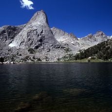
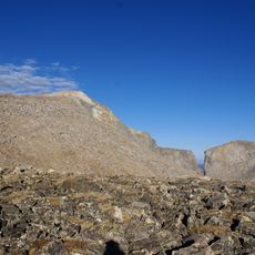
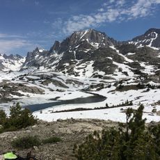
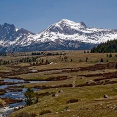
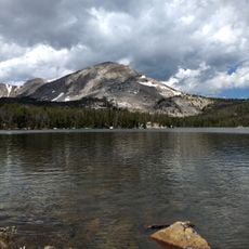
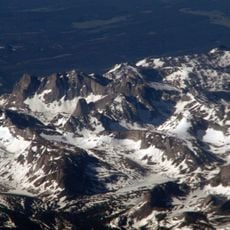
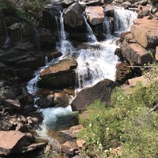
Raid Peak, Mountain summit in Wind River Range, Wyoming, US.
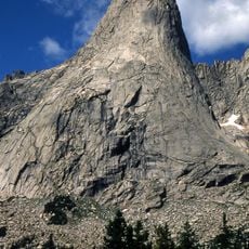
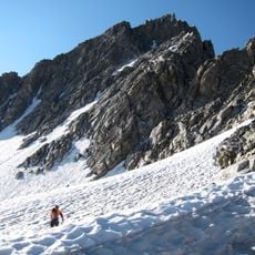
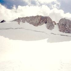
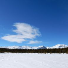
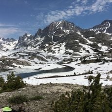
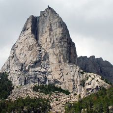
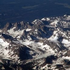
Raid Peak is a mountain in the Wind River Range with an elevation of 12,537 feet and a steep east face that rises 1,700 feet vertically above an unnamed alpine lake. The north side descends less sharply, while southern slopes grade more gently into saddles connecting to neighboring summits.
Raid Peak lies in the Bridger Wilderness of Bridger-Teton National Forest, 1.25 miles west of the Continental Divide and 0.85 miles south of Mount Bonneville. Its east face rises almost 2,000 feet above an unnamed lake, 1,700 feet of it a nearly sheer wall rated class 5.8 and Grade IV-V. Most ascents of this face take a day or two. The U.S. Forest Service keeps no aggregated record of fatalities in the range.
The peak lies in the Bridger Wilderness of Bridger-Teton National Forest, where the U.S. Forest Service manages access and the land is shared with black and grizzly bears. Climbers on the east face commonly carry bear spray and store food away from camp, and the Forest Service keeps no aggregated tally of fatalities in the range.
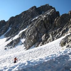
Climbers tackling the east face should bring technical equipment and plan for a two-day expedition since the difficulty rating reaches grade IV-V. The best approach starts from the south or west base of the mountain, with several established routes leading to viewpoints.
The east face rises almost 2,000 ft above an unnamed lake, 1,700 ft of it a nearly sheer wall rated class 5.8 and Grade IV-V; most ascents take a day or two. The peak stands 1.25 mi west of the Continental Divide and 0.85 mi south of Mount Bonneville, in the Bridger Wilderness of Bridger-Teton National Forest.
The community of curious travelers
AroundUs brings together thousands of curated places, local tips, and hidden gems, enriched daily by 94,349 contributors worldwide.