Chest opened
+${chestReward.xp} XP
Explorer
NOUVEAU ×${chestReward.collectible.quantity}
tapez pour fermer

See the monuments around you in AR Open chests in the app

Around Us is built for your phone — point your camera at the streets and discover the monuments and places around you in augmented reality. Around Us is built for your phone — chests unlock when you walk, explore and capture nearby places.

Enable Location

We need your location to show you interesting places around you

Discover nearby places

Find interesting locations and hidden gems around you

Precise directions

Get accurate directions and distances to places

Your location is never shared with other users. It's only used when you tap the location button.

Log in to your account

Start exploring — it's free

Trusted by 81,224 travelers worldwide

Continue with Google
Continue with Apple
or

We will send you a code to connect

By continuing, you accept our Terms and Conditions and our Privacy Policy

Check your inbox

We've sent a pincode in your inbox. Please enter the code below.

Discussion Reviews Photo
2.8k Popularity

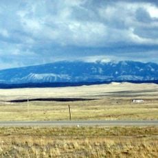
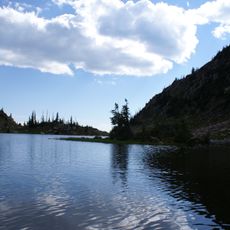
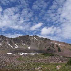
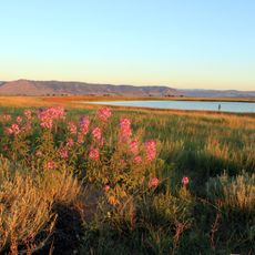
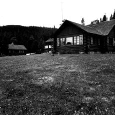
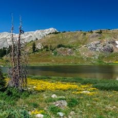
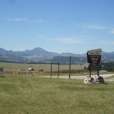
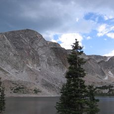
Savage Run Wilderness, Protected wilderness area in Medicine Bow National Forest, Wyoming, United States.

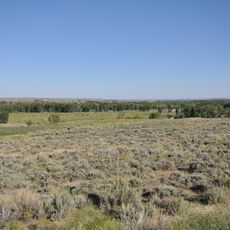
Savage Run Wilderness is a protected area within Medicine Bow National Forest featuring granite peaks, thick forests, and mountain meadows spread across roughly 31,000 acres. The terrain rises between 8,000 and 10,000 feet, creating varied landscapes shaped by water, stone, and vegetation.

Congress established protection for this land in 1978 through the Endangered American Wilderness Act, recognizing the need to preserve wild areas. The designation marked a significant step in safeguarding undeveloped landscapes during a period of expanding wilderness protection across the country.

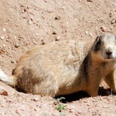
Visitors come here to experience unspoiled nature on foot, camping under stars and watching wildlife in their natural habitat. The place draws people seeking solitude and direct contact with mountains and forests.

Several trails lead into the area, with the main route being a nine-mile path that climbs steeply through old-growth forest. Visitors should prepare for challenging terrain and bring proper gear for mountain conditions.

A creek runs through the wilderness carrying water for brook trout and elk populations that live in these mountains. This waterway creates a vital corridor that supports both fish and large mammals throughout the seasons.

The community of curious travelers

AroundUs brings together thousands of curated places, local tips, and hidden gems, enriched daily by 60,000 contributors worldwide.
Start exploring
Location
Operator
United States Forest Service
GPS coordinates
41.18914,-106.42028
Latest update
August 4, 2026 13:50
Around this place
Medicine Bow–Routt National Forest
United States of America

Medicine Bow–Routt National Forest

47.1 km
Medicine Bow Peak
United States of America

Medicine Bow Peak

20.9 km
Elk Mountain
United States of America

Elk Mountain

50.2 km
Mount Zirkel
United States of America

Mount Zirkel

44.6 km
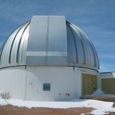
Wyoming Infrared Observatory
United States of America

Wyoming Infrared Observatory

38.6 km
United States of America

Platte River Wilderness

10.9 km
Mortenson Lake National Wildlife Refuge
United States of America

Mortenson Lake National Wildlife Refuge

51.7 km
United States of America

Encampment River Wilderness

33.3 km
Bath Ranch
United States of America

Bath Ranch

55.2 km
Vee Bar Ranch Lodge
United States of America

Vee Bar Ranch Lodge

36.2 km
United States of America

Northgate Canyon

22 km
Willis House
United States of America

Willis House

31.5 km
Ryan Ranch
United States of America

Ryan Ranch

32.1 km
Woods Landing Dance Hall
United States of America

Woods Landing Dance Hall

35.3 km
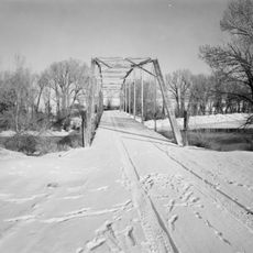
DML Butler Bridge
United States of America

DML Butler Bridge

19.8 km
Brooklyn Lodge
United States of America

Brooklyn Lodge

24.3 km
United States of America

Grand Encampment Mining Region: Boston Wyoming Smelter Site

30.2 km
Centennial Work Center
United States of America

Centennial Work Center

25.7 km
United States of America

Grand Encampment Museum

30.9 km
United States of America

Northpark Pioneer Association

52.2 km
United States of America

Little Brooklyn Guard Station

24.4 km
United States of America

Libby Flats Observation Point

19.8 km
United States of America

Horse Ranch Pass

48.7 km
United States of America

Red Mountain Pass

46.6 km
United States of America

Scenic viewpoint

54.1 km
United States of America

Pinkham Creek Pass

37.5 km
United States of America

Scenic viewpoint

49.5 km
United States of America

Waterfall

50.6 km
Show the full map
Reviews
Share your experience

No review yet

Discussions
Start a discussion...

No discussion yet

« Savage Run Wilderness - Protected wilderness area in Medicine Bow National Forest, Wyoming, United States » is provided by Around Us (aroundus.com). Images and texts are derived from Wikimedia project under a Creative Commons license. You are allowed to copy, distribute, and modify copies of this page, under the conditions set by the license, as long as this note is clearly visible.

Discover hidden gems everywhere you go!

From secret cafés to breathtaking viewpoints, skip the crowded tourist spots and find places that match your style. Our app makes it easy with voice search, smart filtering, route optimization, and insider tips from travelers worldwide. Download now for the complete mobile experience.

Around Us App Screenshot

A unique approach to discovering new places

Le Figaro

All the places worth exploring

France Info

A tailor-made excursion in just a few clicks

20 Minutes

Around Us
Travel Guide & Maps
Download

Send to your phone

QR Code
1

Open the camera app on your mobile.

2

Point at the QR code with your camera. A notification will appear.

3

Tap the notification to open the link.