Piute County

Log in to your account

AroundUs is a community-driven map of interesting places, built by curious explorers like you. It grows with every review, story, and photo you share.
Connect to save your favorite spots, contribute locations, and create personalized routes.
By continuing, you accept our Terms and Conditions and our Privacy Policy
Add to collection
Map
Suggest a change
Share

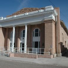
Piute County, Administrative county in south-central Utah, United States.

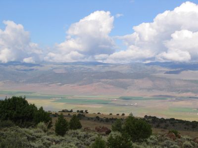
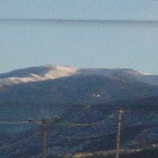
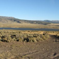
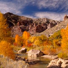
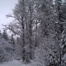
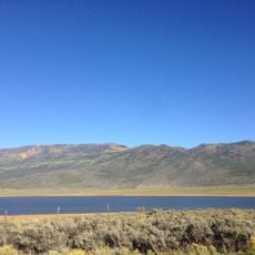
Piute County is an administrative division in south-central Utah covering roughly 2,000 square kilometers, defined by the Tushar Mountains and crossed by the Sevier River. The landscape reaches over 12,000 feet (3,660 meters) at its highest point, Delano Peak, showing the terrain's rugged character.

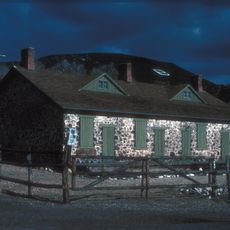
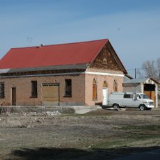
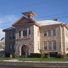
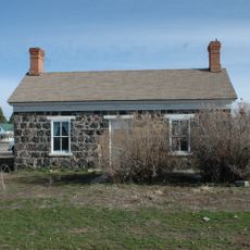
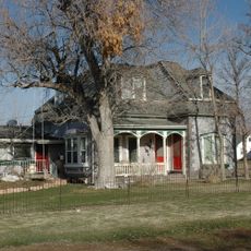
The county was established in 1865 from neighboring Beaver County's territory and grew through mining activity, particularly during the gold rush period spanning the 1870s through the 1950s. Several small mining towns rose and fell as demand for minerals shifted over the decades.

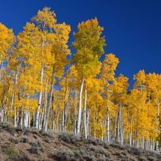
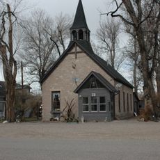
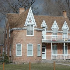
The region takes its name from the Paiute Native American people and their legacy lives on through monuments, museums, and stories shared by the community. Visitors can see this influence in how locals speak about and preserve the past.

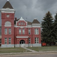
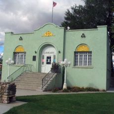
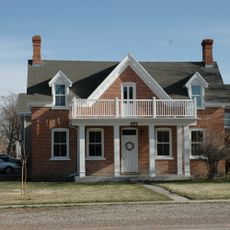
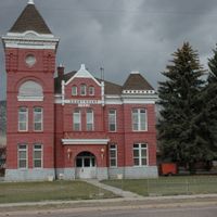
Junction serves as the main hub and administrative center, offering shops and services for visitors exploring the mountain and river areas. The 900-mile (1,450-kilometer) ATV trail system winds through the landscape and draws outdoor enthusiasts seeking off-road riding experiences.

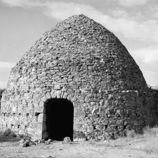
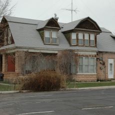
During World War I, specialized minerals from the Tushar Mountains were extracted to support wartime industry, leading to the brief rise of an industrial town built solely for this purpose. This period of intensive resource extraction played a vital role in supporting national defense production.

Location: Utah

Inception: 1865

Capital city: Junction

Shares border with: Sevier County, Wayne County, Garfield County, Beaver County

Website: http://piutecounty.org

GPS coordinates: 38.34000,-112.13000

Latest update: December 7, 2025 20:41

Photos
Around this place
Pando
United States of America

Pando

39 km
Mystic Hot Springs
United States of America

Mystic Hot Springs

32.8 km
Fremont Indian State Park and Museum
United States of America

Fremont Indian State Park and Museum

31.9 km
Delano Peak
United States of America

Delano Peak

21.3 km
Otter Creek Reservoir
United States of America

Otter Creek Reservoir

21.2 km
Fort Cameron
United States of America

Fort Cameron

41.7 km
Frisco Charcoal Kilns
United States of America

Frisco Charcoal Kilns

17.7 km
Marysvale Canyon
United States of America

Marysvale Canyon

23 km
Meeting Hall
United States of America

Meeting Hall

44.8 km
Piute County Courthouse
United States of America

Piute County Courthouse

13.9 km
Samuel Jackson House
United States of America

Samuel Jackson House

44.9 km
Monroe Presbyterian Church
United States of America

Monroe Presbyterian Church

32.7 km
Elsinore White Rock Schoolhouse
United States of America

Elsinore White Rock Schoolhouse

38.6 km
Sarah Eliza Harris House
United States of America

Sarah Eliza Harris House

44.6 km
John and Ella Morrill House
United States of America

John and Ella Morrill House

13.8 km
Beaver Opera House
United States of America

Beaver Opera House

45.1 km
Soren Simonsen House
United States of America

Soren Simonsen House

32.8 km
Feargus O'Connor Willden House
United States of America

Feargus O'Connor Willden House

45 km
Charles Dennis White House
United States of America

Charles Dennis White House

45 km
William Burt House
United States of America

William Burt House

44.3 km
Monroe City Hall
United States of America

Monroe City Hall

32.6 km
Edward Bird House
United States of America

Edward Bird House

44.8 km
Alma Crosby House
United States of America

Alma Crosby House

44.9 km
Edward Fernley House
United States of America

Edward Fernley House

44.8 km
James Fennemore House
United States of America

James Fennemore House

44.9 km
Louis W. Harris House
United States of America

Louis W. Harris House

44.6 km
Bullion Canyon
United States of America

Bullion Canyon

17.2 km
Koosharem Reservoir
United States of America

Koosharem Reservoir

38.4 km
Show the full map
Reviews

Visited this place? Tap the stars to rate it and share your experience / photos with the community! Try now! You can cancel it anytime.

Administrative divisions
« Piute County - Administrative county in south-central Utah, United States » is provided by Around Us (aroundus.com). Images and texts are derived from Wikimedia project under a Creative Commons license. You are allowed to copy, distribute, and modify copies of this page, under the conditions set by the license, as long as this note is clearly visible.

Discover hidden gems everywhere you go!

From secret cafés to breathtaking viewpoints, skip the crowded tourist spots and find places that match your style. Our app makes it easy with voice search, smart filtering, route optimization, and insider tips from travelers worldwide. Download now for the complete mobile experience.

Around Us App Screenshot

A unique approach to discovering new places

Le Figaro

All the places worth exploring

France Info

A tailor-made excursion in just a few clicks

20 Minutes