Ferme Boudoul, human settlement in France
Location: Cayres
Address: Chacornac
GPS coordinates: 44.91328,3.83266
Latest update: December 1, 2025 15:24

Église Saint-Pierre de Cayres
2.6 km
Suc de Miceselle
4.4 km
Maison Robert
4.3 km
Maison Cazes
80 m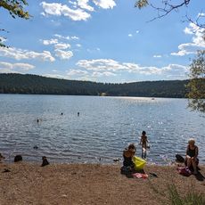
Plage
3.3 km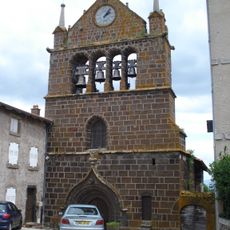
Église Saint-Martin, Le Brignon
4.5 km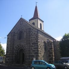
Église Saint-Joseph de Costaros
2.6 km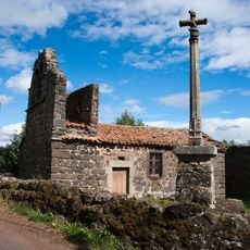
Chapelle Saint-Amant de Cayres
61 m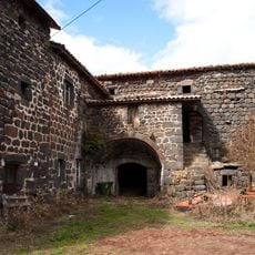
Cayres - Ferme Arnaud
66 m
Ferme Villard
140 m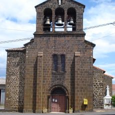
Église de l'Immaculée Conception d'Ussel
4.7 km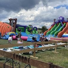
Paradis Kid's
2.6 km
Ferme de Chanial
78 m
Mont Recours
5.2 km
Scenic viewpoint
5.2 km
Wayside cross
4.2 km
Wayside cross
3.9 km
Catholic church building, wayside cross
4.8 km
Wayside cross
4.3 km
Monument aux morts
2.2 km
Wayside cross
4.8 km
Croix de Font-Croze
4.6 km
Croix de la Chèvre
3.2 km
Monument aux morts
2.2 km
Memorial, war memorial
4.2 km
Memorial, statue
4.4 km
Wayside cross
4.4 km
Memorial
4.4 kmVisited this place? Tap the stars to rate it and share your experience / photos with the community! Try now! You can cancel it anytime.
Discover hidden gems everywhere you go!
From secret cafés to breathtaking viewpoints, skip the crowded tourist spots and find places that match your style. Our app makes it easy with voice search, smart filtering, route optimization, and insider tips from travelers worldwide. Download now for the complete mobile experience.

A unique approach to discovering new places❞
— Le Figaro
All the places worth exploring❞
— France Info
A tailor-made excursion in just a few clicks❞
— 20 Minutes