
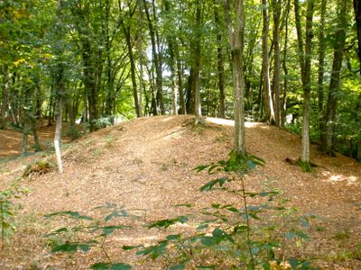
Barrow cemetery Hutweide, building in Bad Radkersburg, Austria
Location: Bad Radkersburg
Address: Hutweide
GPS coordinates: 46.70825,15.98432
Latest update: March 3, 2025 11:46
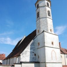
Pfarrkirche hl. Johannes der Täufer, Bad Radkersburg
2.2 km
Rathaus Bad Radkersburg
2.3 km
Zeughaus, Bad Radkersburg
2.2 km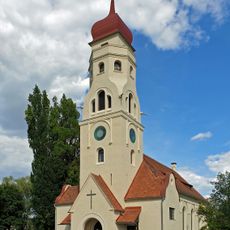
Evangelische Kirche Bad Radkersburg
2 km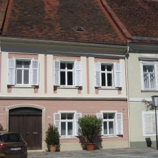
Bürgerhaus
2.3 km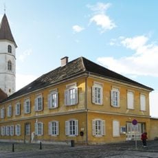
Musikschule, ehem. Volksschule
2.2 km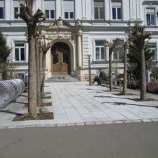
Landeskrankenhaus Bad Radkersburg
1.9 km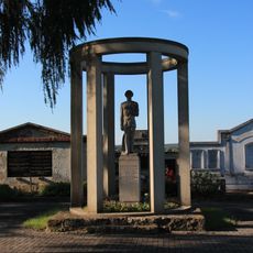
Kamniker grave, Radkersburg Umgebung
1.1 km
Pfarrhof Bad Radkersburg
2.1 km
Palais Nadasdy
2.2 km
Florianisäule, Bad Radkersburg
2.1 km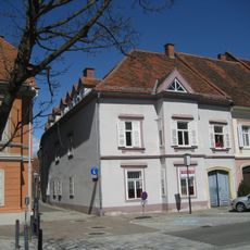
Hauptplatz 11 Bad Radkersburg
2.3 km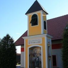
Dorfkreuz, Goritz bei Radkersburg
1.2 km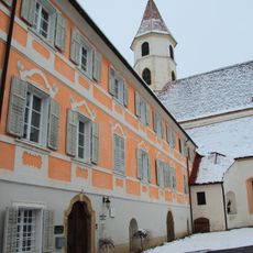
Dechantshof Bad Radkersburg
2.3 km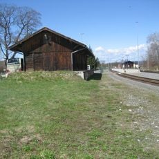
Bad Radkersburg railway station
1.1 km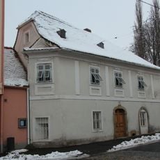
Schremmerhaus, Bad Radkersburg
2.1 km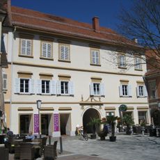
Hauptplatz 7 Bad Radkersburg
2.3 km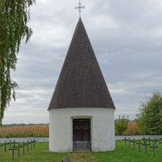
Kriegerdenkmal
1.8 km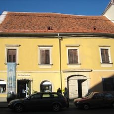
Wohn- und Geschäftshaus
2.2 km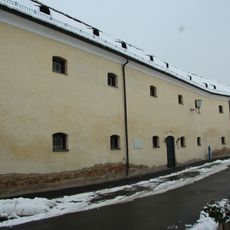
Gefangenenhaus Bad Radkersburg
2.1 km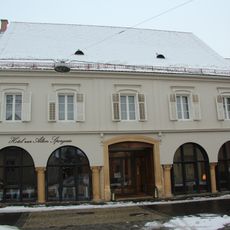
Emmenstraße 13 Bad Radkersburg
2.2 km
Pfarrgasse 1
2.1 km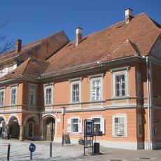
Hauptplatz 9 Bad Radkersburg
2.3 km
Bezirksgericht Bad Radkersburg
2.2 km
Bürgerhaus
2.3 km
Wohnhaus, ehem. Wehrturm
2.1 km
Bürgerhaus, Mohren-Apotheke
2.3 km
Wohn- und Geschäftshaus
2.3 kmReviews
Visited this place? Tap the stars to rate it and share your experience / photos with the community! Try now! You can cancel it anytime.
Discover hidden gems everywhere you go!
From secret cafés to breathtaking viewpoints, skip the crowded tourist spots and find places that match your style. Our app makes it easy with voice search, smart filtering, route optimization, and insider tips from travelers worldwide. Download now for the complete mobile experience.

A unique approach to discovering new places❞
— Le Figaro
All the places worth exploring❞
— France Info
A tailor-made excursion in just a few clicks❞
— 20 Minutes