
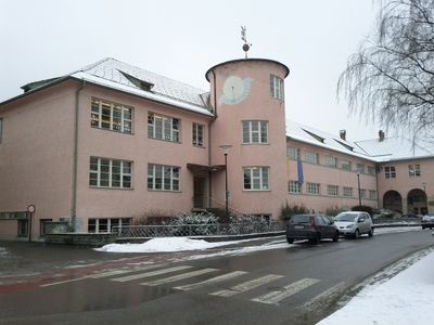
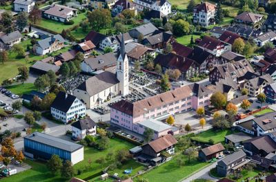
Volksschule Nenzing, building in Nenzing, Austria
Location: Nenzing
Address: Landstraße 13
GPS coordinates: 47.18538,9.70408
Latest update: March 3, 2025 01:09

Gaisbühel
1.6 km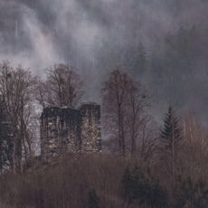
Burgruine Ramschwag
1 km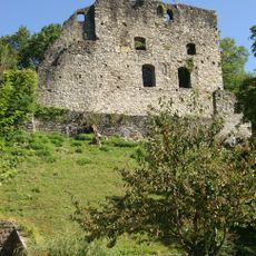
Burgruine Jagdberg
2 km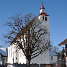
Pfarrkirche hl. Jakobus der Ältere (Bludesch)
3.1 km
Unsere Liebe Frau Unbefleckte Empfängnis, Schlins
2.3 km
Annakapelle (Schlins)
2 km
Buderhoehe
2.8 km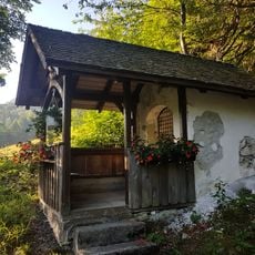
Wegkapelle Stellveder
1.6 km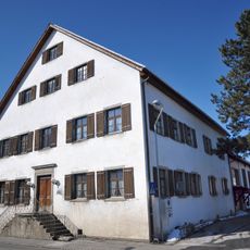
Ansitz Unterhalden
3.1 km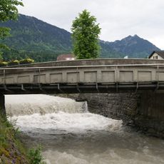
Mengbrücke
190 m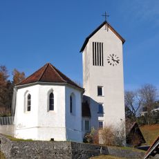
Filialkirche hll. Ottilie, Julius und Martin
1.8 km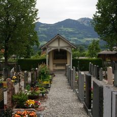
Cemetery Nenzing
81 m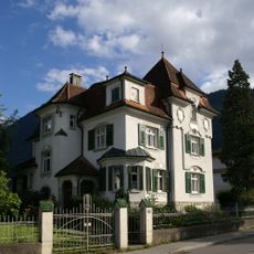
Villa Schatzmann
194 m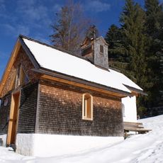
Chapel Sankt Martin
2.2 km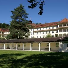
Lungenheilstätte Gaisbühel
1.6 km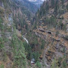
Mengschlucht
1.5 km
Nenzingerberg
2.2 km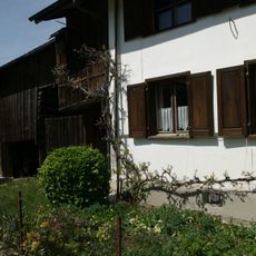
Bauernhaus
2.4 km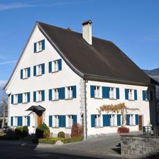
Pfarrhof
57 m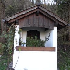
Bildstock, Weißes Bild
1.9 km
Landeskrankenhaus Gaisbühel und Kapelle
1.5 km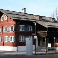
Wohnhaus, ehem. Gasthaus zum Hirschen, Rotes Haus
193 m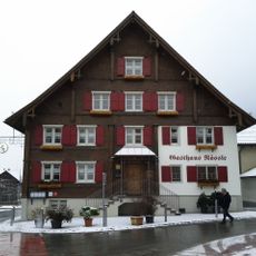
Gasthaus zum Rössle
68 m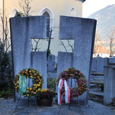
Kriegerdenkmal Nenzing
49 m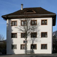
Altes Gemeindeamt
194 m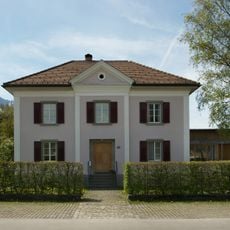
Pfarrhof
2.3 km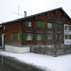
Doppelwohnhaus
101 m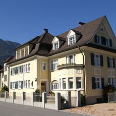
Villa Schallert
231 mReviews
Visited this place? Tap the stars to rate it and share your experience / photos with the community! Try now! You can cancel it anytime.
Discover hidden gems everywhere you go!
From secret cafés to breathtaking viewpoints, skip the crowded tourist spots and find places that match your style. Our app makes it easy with voice search, smart filtering, route optimization, and insider tips from travelers worldwide. Download now for the complete mobile experience.

A unique approach to discovering new places❞
— Le Figaro
All the places worth exploring❞
— France Info
A tailor-made excursion in just a few clicks❞
— 20 Minutes