
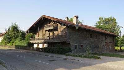
Bauernhaus, Bräustidlhaus, human settlement in Austria
Location: Braunau am Inn
Address: Untere Hofmark 37
GPS coordinates: 48.23642,13.01428
Latest update: April 15, 2025 18:12
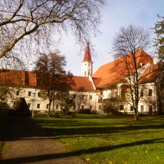
Stift Ranshofen
676 m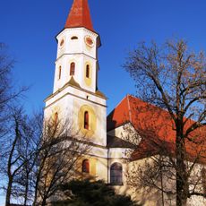
Pfarrkirche Braunau-Ranshofen
573 m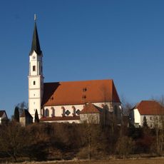
Mariä Himmelfahrt (Kirchdorf am Inn)
2.6 km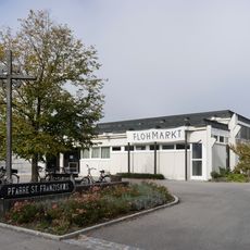
Pfarrkirche Braunau-St. Franziskus
1.8 km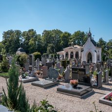
Friedhof Braunau
2.1 km
Katholische Pfarrkirche Mariä Himmelfahrt
2.6 km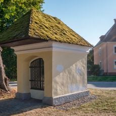
Ranshofen Kapelle
1.1 km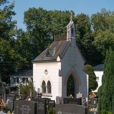
Gruftkapelle
2.1 km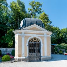
Friedhofskapelle
2 km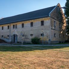
Braunau Kainzgut
2.4 km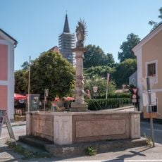
Ranshofen Brunnen
387 m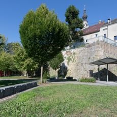
Mauern, Teil d. ma. Stadtbefestigung
2.7 km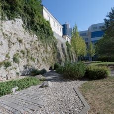
Mauern, Teil d. ma. Stadtbefestigung
2.7 km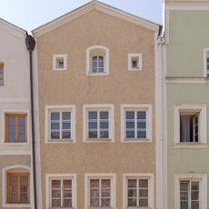
Salzburger Vorstadt 34
2.7 km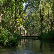
Buchenwald Ranshofen
798 m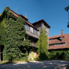
Braunau Papiermühle
2.2 km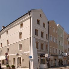
Salzburger Vorstadt 36
2.7 km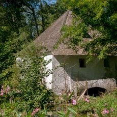
Ranshofen Wasserhaus
604 m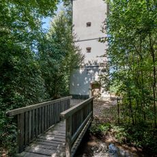
Wasserturm
633 m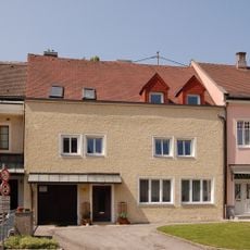
Kirchenplatz 12
2.7 km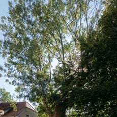
Esche bei Gut Osternberg
1.2 km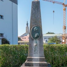
Palm-Denkmal
2.6 km
Salzburger Vorstadt 32
2.7 km
Hofrichterhaus, Ranshofen
408 m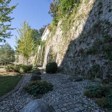
Mauern, Teil d. ma. Stadtbefestigung
2.6 km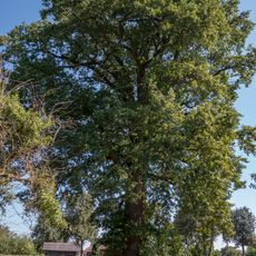
Stieleiche von Ranshofen
253 m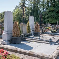
Gruftanlage Fink
2 km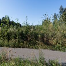
Hügelgräbergruppe Laach-Wasserwerk
1.8 kmReviews
Visited this place? Tap the stars to rate it and share your experience / photos with the community! Try now! You can cancel it anytime.
Discover hidden gems everywhere you go!
From secret cafés to breathtaking viewpoints, skip the crowded tourist spots and find places that match your style. Our app makes it easy with voice search, smart filtering, route optimization, and insider tips from travelers worldwide. Download now for the complete mobile experience.

A unique approach to discovering new places❞
— Le Figaro
All the places worth exploring❞
— France Info
A tailor-made excursion in just a few clicks❞
— 20 Minutes