Mala Jama, Höhle in Bosnien und Herzegowina
Location: Federation of Bosnia and Herzegovina
Elevation above the sea: 660 m
GPS coordinates: 43.26590,17.35897
Latest update: November 21, 2025 20:41
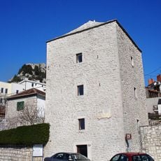
Tinova kula
6.9 km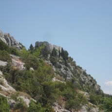
Gradina
6.7 km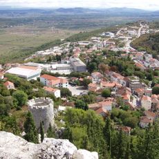
Avala
6.7 km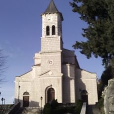
Annunciation church
6.8 km
Muminova kula
6.9 km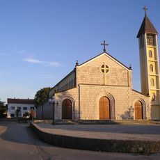
St. Elijah church
5.9 km
Pakerova kula
6.9 km
Gradski park u Vrgorcu
6.8 km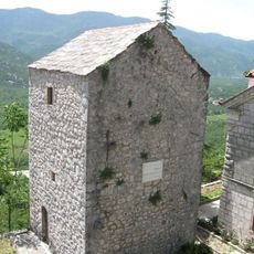
Fratarska kula
6.9 km
Metaljka (langub)
3.3 km
Sveti Rok
5.9 km
Medveđa Ploča
3.8 km
Velika Pećina (langub sa Krowasya, Splitsko-Dalmatinska Županija, lat 43,23, long 17,31)
6.2 km
Mala Pećina
6.1 km
Vodička Pećina
2.6 km
Vrlosin
1.9 km
Šiljevina
1.3 km
Presveta Djevica
5.9 km
Gospa Tihaljinska
5.9 km
Muka Isusova
5.9 km
Kraljica Mira
5.9 km
Tin Ujević
6.9 km
Work of art, sculpture
5.8 km
Work of art, sculpture
5.8 km
Work of art, sculpture
5.8 km
Sculpture, Work of art
5.8 km
Dr. Franjo Tuđman
6.9 km
Zavjetni križ
5.8 kmReviews
Visited this place? Tap the stars to rate it and share your experience / photos with the community! Try now! You can cancel it anytime.
Discover hidden gems everywhere you go!
From secret cafés to breathtaking viewpoints, skip the crowded tourist spots and find places that match your style. Our app makes it easy with voice search, smart filtering, route optimization, and insider tips from travelers worldwide. Download now for the complete mobile experience.

A unique approach to discovering new places❞
— Le Figaro
All the places worth exploring❞
— France Info
A tailor-made excursion in just a few clicks❞
— 20 Minutes