
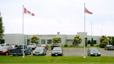
North Dundas, township municipality in Ontario, Canada
Location: United Counties of Stormont, Dundas and Glengarry
Shares border with: South Dundas, Ottawa, Edwardsburgh/Cardinal, Russell
Website: http://northdundas.com
GPS coordinates: 45.08333,-75.34750
Latest update: April 1, 2025 18:24
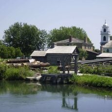
Upper Canada Village
26.8 km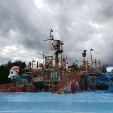
Calypso Park
27.9 km
Upper Canada Village
26.7 km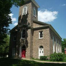
Waddington Historic District
27 km
Upper Canada Migratory Bird Sanctuary
27.7 km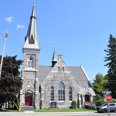
Winchester United Church
1.1 km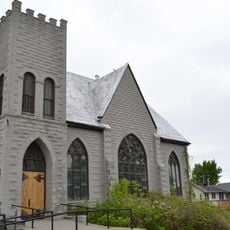
St. Luke's-Knox Presbyterian Church
21.5 km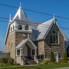
Trinity United Church
25 km
Tupper House-Thunderwood Farm
25.6 km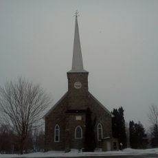
St. Andrew's Presbyterian Church
29.4 km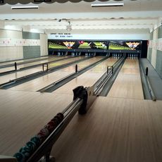
Chesterville Bowling Lanes
9.9 km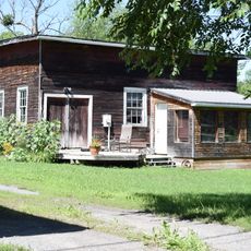
Former Carkner Lumber Mill
17 km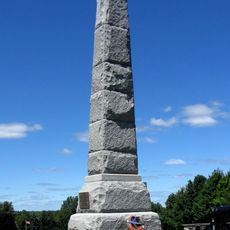
Battle of Crysler's Farm National Historic Site
26.9 km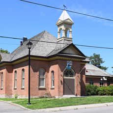
Former Osgoode Town Hall
19.7 km
Waddington Beach
26.7 km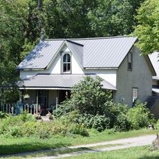
313 French Settlement Road
19.9 km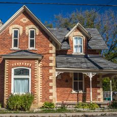
2323 Roger Stevens Drive
29.4 km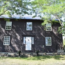
Minor House
24.6 km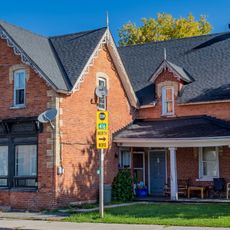
Thomas Craig House
29.4 km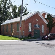
Chesterville and District Heritage Centre
9.5 km
Eastman House
24.6 km
Lindsay House
24.4 km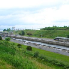
Iroquois Lock
28.2 km
Dickinson Landing Lighthouse
27 km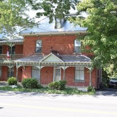
James Dupuis House
24.7 km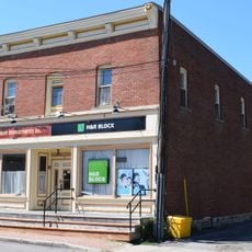
Warner Building
19.3 km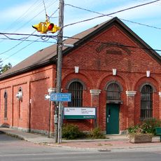
Russell Land Registry Office
19.4 km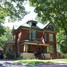
86 King Street
9.5 kmReviews
Visited this place? Tap the stars to rate it and share your experience / photos with the community! Try now! You can cancel it anytime.
Discover hidden gems everywhere you go!
From secret cafés to breathtaking viewpoints, skip the crowded tourist spots and find places that match your style. Our app makes it easy with voice search, smart filtering, route optimization, and insider tips from travelers worldwide. Download now for the complete mobile experience.

A unique approach to discovering new places❞
— Le Figaro
All the places worth exploring❞
— France Info
A tailor-made excursion in just a few clicks❞
— 20 Minutes