
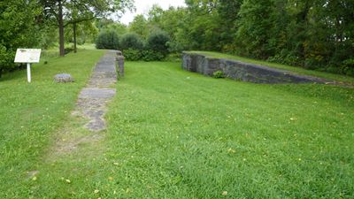
Second Welland Canal River Lock, canal lock in Thorold, Ontario, Canada
Location: Thorold
Inception: 1849
Address: South Street
GPS coordinates: 43.03976,-79.20890
Latest update: March 14, 2025 13:53
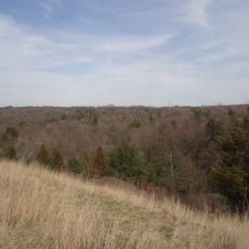
Short Hills Provincial Park
9.3 km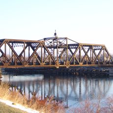
Welland Canal, Bridge 15
8 km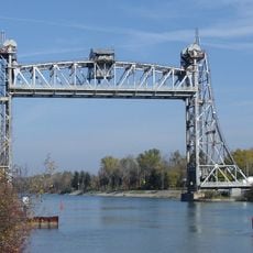
Bridge 11
4.1 km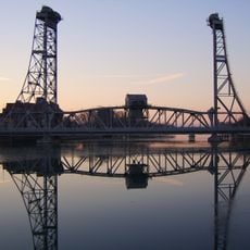
Welland Canal, Bridge 13
6.4 km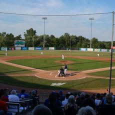
Welland Stadium
3.4 km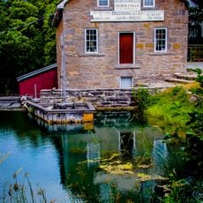
Morningstar Mill
9.1 km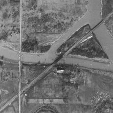
Montrose Swing Bridge
7.3 km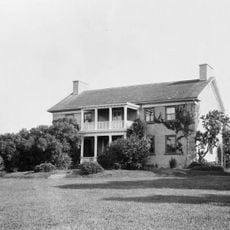
DeCou House
8.3 km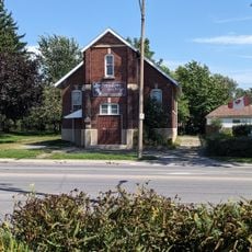
Mizpah Mission/Italian Pentecostal Church
7.1 km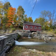
Morningstar Mill
9.1 km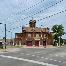
Central Fire Hall
6.2 km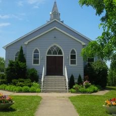
Church of St Aloysius
6.8 km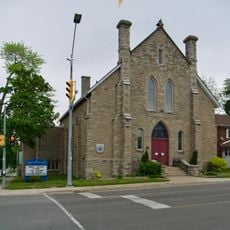
St. Andrew's Presbyterian Church
9.4 km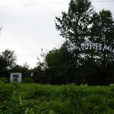
Carl, Misener, Bald Cemetery
781 m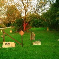
Allanburg Village Cemetery
4.5 km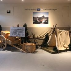
Welland Historical Museum
6.6 km
Trinity United Church
9.4 km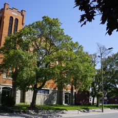
Central United Church
6.5 km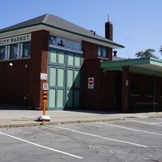
Farmers' Market Building
6.4 km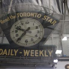
Toronto Star Arena Clock
7.4 km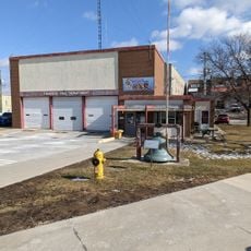
Old Fire Hall bell
9.4 km
Catherine Street
6.9 km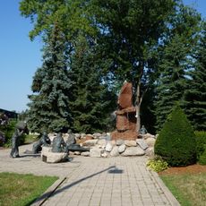
Welland Canal Memorial Monument
6.6 km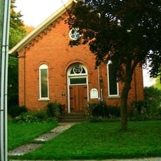
Allanburg United Church
4.3 km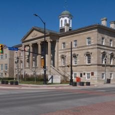
Welland County Courthouse
6.1 km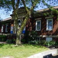
Carnegie Building (former Welland Public Library) and "Canal Construction" mural
6.6 km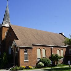
St. Andrew's Presbyterian Church
6.5 km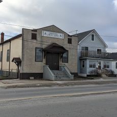
Ukrainian Labour Temple
7.9 kmReviews
Visited this place? Tap the stars to rate it and share your experience / photos with the community! Try now! You can cancel it anytime.
Discover hidden gems everywhere you go!
From secret cafés to breathtaking viewpoints, skip the crowded tourist spots and find places that match your style. Our app makes it easy with voice search, smart filtering, route optimization, and insider tips from travelers worldwide. Download now for the complete mobile experience.

A unique approach to discovering new places❞
— Le Figaro
All the places worth exploring❞
— France Info
A tailor-made excursion in just a few clicks❞
— 20 Minutes