Cass Bridge Conservation Area, conservation area in Ontario, Canada
Location: United Counties of Stormont, Dundas and Glengarry
GPS coordinates: 45.04973,-75.32010
Latest update: November 22, 2025 12:26
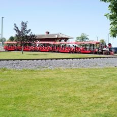
Upper Canada Village
22.9 km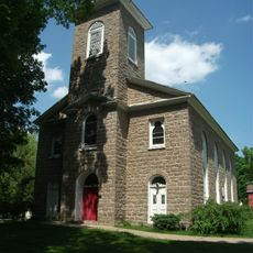
Waddington Historic District
22.7 km
DuPont Provincial Nature Reserve
19.3 km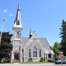
Winchester United Church
5.4 km
St. Luke's-Knox Presbyterian Church
21.1 km
Morrisburg Beach
19.9 km
Iroquois Beach
22.3 km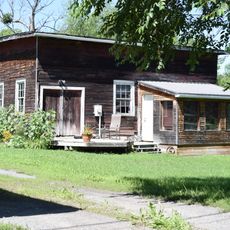
Former Carkner Lumber Mill
21.2 km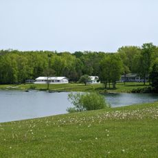
Waddington Beach
22.5 km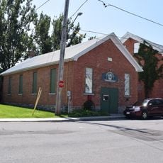
Chesterville and District Heritage Centre
9.1 km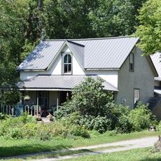
313 French Settlement Road
22.2 km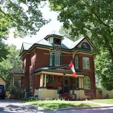
86 King Street
9.4 km
Sandy Row Golf Club
11.9 km
Upper Canada Golf Course
22.6 km
Sandy Mountain Golf Course
17.8 km
Cloverdale Links
10.6 km
Nationview Golf Course
17 km
Cedar Glen Golf Course
10.1 km
Morrisburg Golf Course
20.3 km
Iroquois Golf Club
22.4 km
Prehistoric World
20.5 km
Amphitheatre
20.5 km
Dundas County Players
5.5 km
Upper Canada Playhouse
19.7 km
Morrisburg Beach
20.5 km
Waddington Beach
22.6 km
Osgoode Township Historical Society and Museum
16.6 km
Statue, Work of art
22.9 kmReviews
Visited this place? Tap the stars to rate it and share your experience / photos with the community! Try now! You can cancel it anytime.
Discover hidden gems everywhere you go!
From secret cafés to breathtaking viewpoints, skip the crowded tourist spots and find places that match your style. Our app makes it easy with voice search, smart filtering, route optimization, and insider tips from travelers worldwide. Download now for the complete mobile experience.

A unique approach to discovering new places❞
— Le Figaro
All the places worth exploring❞
— France Info
A tailor-made excursion in just a few clicks❞
— 20 Minutes