
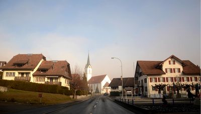
Abtwil, municipality in the canton Aargau in Switzerland
Location: Muri District
Elevation above the sea: 536 m
Part of: RPV Oberes Freiamt
Shares border with: Hohenrain, Sins
Website: http://abtwilag.ch
GPS coordinates: 47.17611,8.35556
Latest update: March 3, 2025 22:31
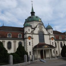
Eschenbach Abbey
5.5 km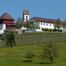
Former Commandery of St. John
2.8 km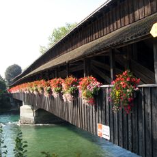
Wooden Bridge across the Reuss river
3.6 km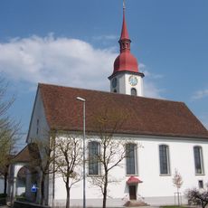
Catholic parish church
3.9 km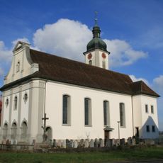
Roman catholic parish church
4.3 km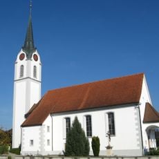
Roman Catholic church with rectory and parish storehouse
153 m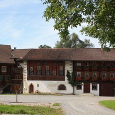
Former Amthaus
2.8 km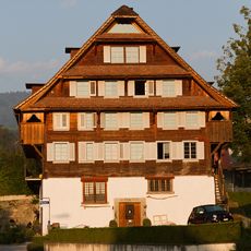
Old mill
4 km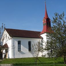
St. Wendelin chapel
2 km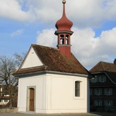
Ossuary chapel
4.2 km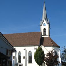
Roman catholic parish church
3.3 km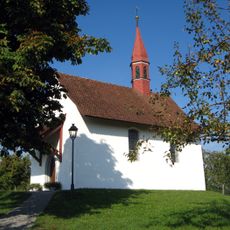
St. Verena chapel
1.6 km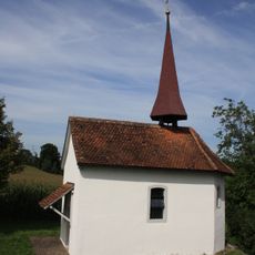
Eligius chapel
3 km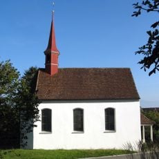
Chapel of St. Jost and Anthony of Padua
2.6 km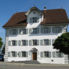
Town hall (former parsonage)
3.6 km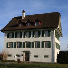
Roman catholic parsonage
4.3 km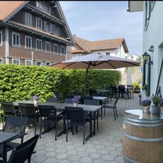
Ottenhusen
2.4 km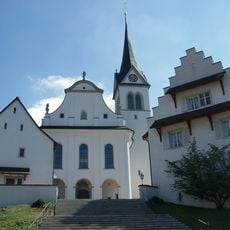
St. Martin's Catholic Church with Ossuary Chapel, Rectory and Cemetery Hall
4.8 km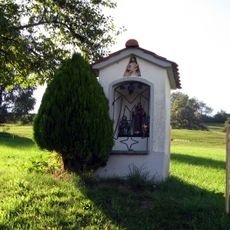
Mariahalden way chapel
4.2 km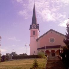
Catholic church of St. Margaret
3.7 km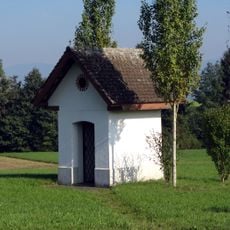
St. Antonius way chapel
1.8 km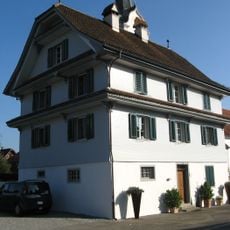
Roman-catholic rectory
119 m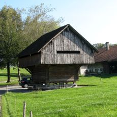
Granary
2.7 km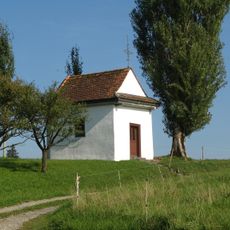
Fourteen Nothelfer chapel
2.8 km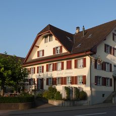
Hirschen Inn
4 km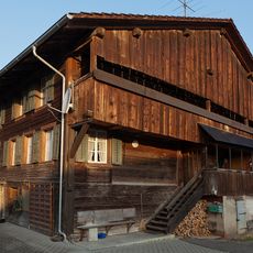
Residential house Käsereistrasse No. 13
3.9 km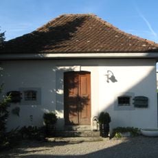
Former parish barn
100 m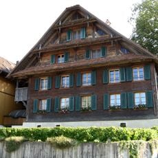
Residential building
3.3 kmVisited this place? Tap the stars to rate it and share your experience / photos with the community! Try now! You can cancel it anytime.
Discover hidden gems everywhere you go!
From secret cafés to breathtaking viewpoints, skip the crowded tourist spots and find places that match your style. Our app makes it easy with voice search, smart filtering, route optimization, and insider tips from travelers worldwide. Download now for the complete mobile experience.

A unique approach to discovering new places❞
— Le Figaro
All the places worth exploring❞
— France Info
A tailor-made excursion in just a few clicks❞
— 20 Minutes