Jilm drsný, memorable tree in Tábor District, Czech Republic
Location: Vlastiboř
Height: 28 m
GPS coordinates: 49.25910,14.63832
Latest update: November 29, 2025 15:12
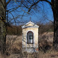
Výklenková kaple Panny Marie
1.6 km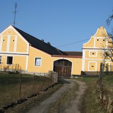
Usedlost čp. 39
262 m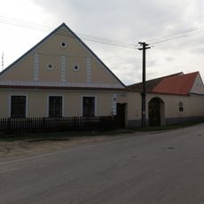
Usedlost čp. 6
1.8 km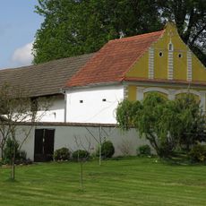
Sýpka u čp. 32
49 m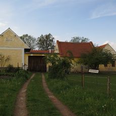
Usedlost čp. 18
261 m
Usedlost čp. 34
47 m
Usedlost čp. 16
308 m
Usedlost čp. 10
329 m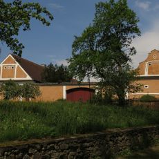
Usedlost čp. 40
296 m
Usedlost čp. 47
313 m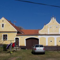
Vlastiboř čp. 38
155 m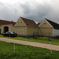
Usedlost čp. 64
381 m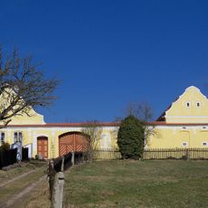
Usedlost čp. 36
129 m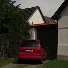
Sýpka a stodola u čp. 44
217 m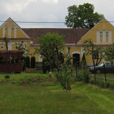
Usedlost čp. 3
362 m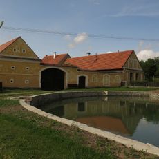
Záluží čp. 7
1.8 km
Pomník u silnice východně od Vlastiboře
917 m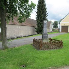
Pomník padlým ve Vlastiboři
242 m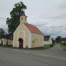
Kaple ve Vlastiboři
225 m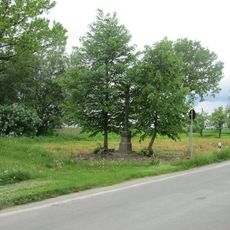
Kříž západně od Vlastiboře
347 m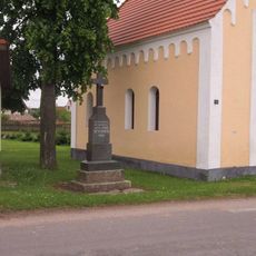
Kříž u kaple ve Vlastiboři
218 m
Wayside cross, Christianity
347 m
Wayside cross, Christianity
1.8 km
Wayside cross, Christianity
889 m
Wayside shrine, Christianity
1.6 km
Wayside cross, Christianity
218 m
Christianity, wayside cross
948 m
Wayside cross, Christianity
1.7 kmVisited this place? Tap the stars to rate it and share your experience / photos with the community! Try now! You can cancel it anytime.
Discover hidden gems everywhere you go!
From secret cafés to breathtaking viewpoints, skip the crowded tourist spots and find places that match your style. Our app makes it easy with voice search, smart filtering, route optimization, and insider tips from travelers worldwide. Download now for the complete mobile experience.

A unique approach to discovering new places❞
— Le Figaro
All the places worth exploring❞
— France Info
A tailor-made excursion in just a few clicks❞
— 20 Minutes