
Kuala, district in Nagan Raya Regency, Aceh Province, Indonesia
Location: Nagan Raya
Elevation above the sea: 8 m
GPS coordinates: 4.11667,96.28333
Latest update: March 30, 2025 02:58
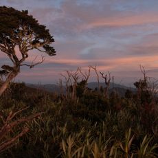
Mount Leuser
105.4 km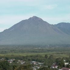
Geureudong
97.8 km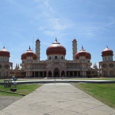
Baitul Makmur Meulaboh Grand Mosque
18.2 km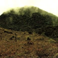
Peuet Sague
88.4 km
Pedir Museum
129.2 km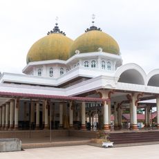
Ridha Mosque
129 km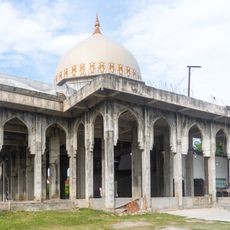
Badrussalam Mosque
130.9 km
Cot Girek Surau
131.6 km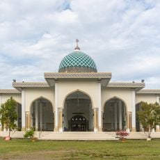
At-Taqwa Mosque
133.6 km
Sulu Bayung Mosque
132.8 km
Cot Meusjid Mosque
128.2 km
Al-Falah Namploh Mosque
121 km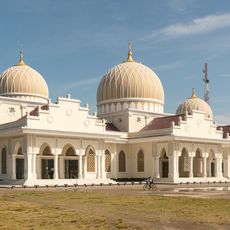
Bireuen Grand Mosque
129 km
Pante Baro Grand Mosque
132.2 km
Al Muttaqin Mosque
133.7 km
Al-Mabrur Mosque
130.6 km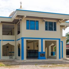
Gampong Raya Dagang Surau
133.4 km
Al-Falah Mosque
135 km
Taqwa Grand Mosque
130 km
Cot Batee Mosque
131.9 km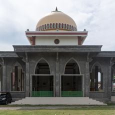
Geulanggang Gampong Surau
129.5 km
Teungku Meureuhom Muda Mosque
124.9 km
Babut Taqwa Mosque
131.5 km
Alhidayah Mosque
124.4 km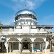
Jabal Qubaish Mosque
129.8 km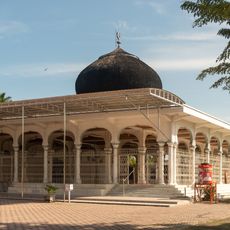
Juli Grand Mosque
127.4 km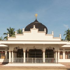
Juli Meunasah Jok Surau
125.1 km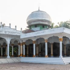
Baiturrahim Mosque
130.2 kmReviews
Visited this place? Tap the stars to rate it and share your experience / photos with the community! Try now! You can cancel it anytime.
Discover hidden gems everywhere you go!
From secret cafés to breathtaking viewpoints, skip the crowded tourist spots and find places that match your style. Our app makes it easy with voice search, smart filtering, route optimization, and insider tips from travelers worldwide. Download now for the complete mobile experience.

A unique approach to discovering new places❞
— Le Figaro
All the places worth exploring❞
— France Info
A tailor-made excursion in just a few clicks❞
— 20 Minutes