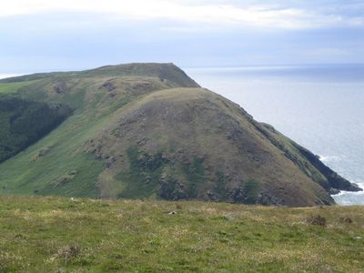
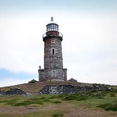
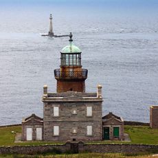
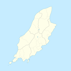
Bradda Hill, Mountain summit in Rushen, Isle of Man.
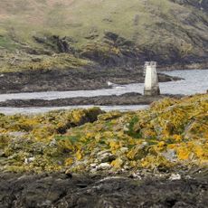
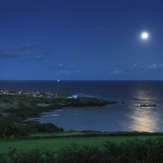
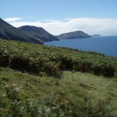
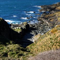
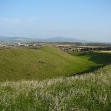
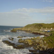
Bradda Hill is a mountain summit in Rushen on the Isle of Man, rising 233 meters above sea level with steep cliffs that descend toward Fleshwick Bay on the western coast. The landscape combines steep terrain with coastal views in a single prominent formation.
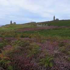
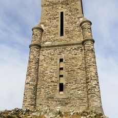
The Rotary Club of Rushen & Western Mann established the nature trail network around Bradda Hill in 1973, creating public access to the location. This development formed the foundation for how people visit the site today.
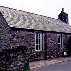
The hill carries both English and traditional Manx names, known locally as Cronk Vradda, reflecting the island's linguistic heritage. This dual naming shows how two cultures shaped the place over time.
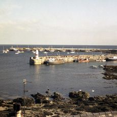
Access is available via multiple hiking trails, including the Raad ny Foillan coastal path that connects from Port Erin village. Sturdy footwear is recommended since paths can be steep and slippery depending on weather conditions.
The site is classified as a Marilyn, a special mountain designation for prominent summits with significant elevation above their surroundings. This classification reflects how distinctly it stands above the landscape around it.
Location: Rushen
Location: Isle of Man
Elevation above the sea: 233 m
Part of: Isle of Man
GPS coordinates: 54.10439,-4.76353
Latest update: December 14, 2025 18:20
Balladoole
5.5 km
Mull Hill
3.5 km
Isle of Man Railway Museum
2.2 km
Calf of Man High Lighthouse
7 km
Calf of Man Low Lighthouse
7.2 km
Calf of Man Lighthouse (1968)
7.1 km
Port Erin front range light
1.9 km
Thousla Rock Lighthouse
5.3 km
Calf of Man Bird Observatory
6.6 km
Perwick Bay
4.3 km
Saint Catherine's Church
2.1 km
St Mary's Church
3.6 km
Kirk Arbory
5.3 km
Port Erin Library
2 km
Kirk Christ Parish of Rushen
2.3 km
Saint Peter's Church
3.9 km
Fleshwick Bay
1.6 km
Port Erin (parokya)
2.3 km
The Witches Mill and attached building (part of Mill Court)
7.4 km
Port Saint Mary Bay
3.9 km
Borrane Creglea
7.1 km
Towlfoggy
4.3 km
Caigher Point, Calf of Man
6.8 km
Close ny chollagh, Scarlett
6.5 km
Milner's Tower
1.6 km
Former Lifeboat House, Breakwater Road
2.2 km
Niarbyl
6.6 km
Colby Level Gate Hut, Colby
3.1 kmVisited this place? Tap the stars to rate it and share your experience / photos with the community! Try now! You can cancel it anytime.
Discover hidden gems everywhere you go!
From secret cafés to breathtaking viewpoints, skip the crowded tourist spots and find places that match your style. Our app makes it easy with voice search, smart filtering, route optimization, and insider tips from travelers worldwide. Download now for the complete mobile experience.
A unique approach to discovering new places❞
— Le Figaro
All the places worth exploring❞
— France Info
A tailor-made excursion in just a few clicks❞
— 20 Minutes