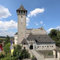
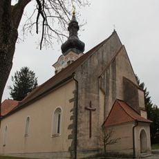
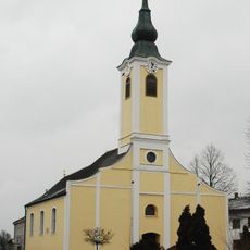
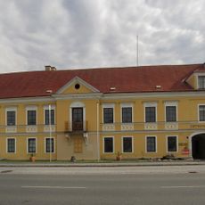
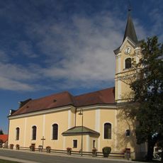
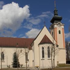
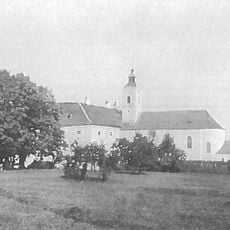
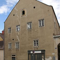
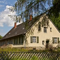
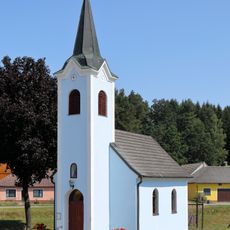
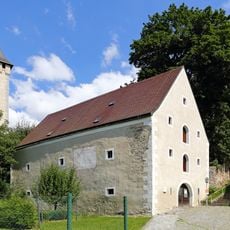
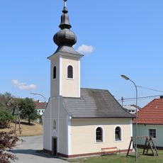
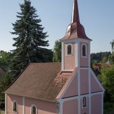
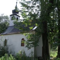
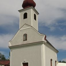
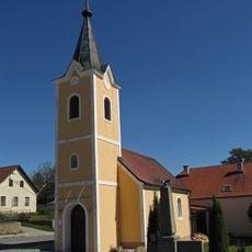
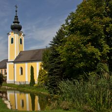
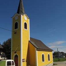
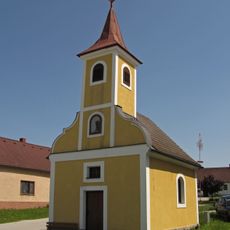
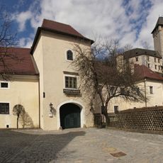
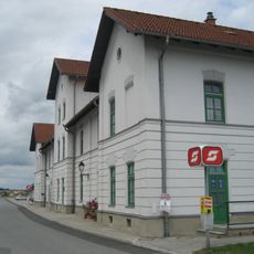
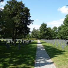
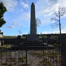
Allentsteig, municipality in Zwettl District, Lower Austria, Austria
Location: Zwettl District
Elevation above the sea: 550 m
Shares border with: Schwarzenau, Göpfritz an der Wild, Röhrenbach, Pölla, Zwettl, Echsenbach
Email: gemeinde@allentsteig.gv.at
Website: http://allentsteig.gv.at
GPS coordinates: 48.69722,15.32833
Latest update: March 4, 2025 16:38
Schloss Allentsteig
86 m
Pfarrkirche Großhaselbach
4.6 km
Pfarrkirche Göpfritz an der Wild
6.3 km
Schloss Göpfritz
6.2 km
Pfarrkirche Scheideldorf
4.7 km
Pfarrkirche hl. Ulrich, Allentsteig
14 m
Pfarrkirche Großpoppen
3.5 km
Hagerscher Freihof
171 m
Forsthäuser beim Haidhof
3.4 km
Ortskapelle Thaua
2.3 km
Schüttkasten Allentsteig
102 m
Ortskapelle Zwinzen
2 km
Ortskapelle Hausbach
5.9 km
Ehem. Ortskapelle Wurmbach
2.7 km
Ortskapelle Ganz
4.8 km
Ortskapelle Bernschlag
4.7 km
Ortskapelle Merkenbrechts
5.4 km
Waldhäusel-Kapelle
2.3 km
Ortskapelle Reinsbach
1.8 km
Ortskapelle Schlag
6.5 km
Sog. Unteres Schloss
180 m
Aufnahmsgebäude Bahnhof Göpfritz
6 km
War cemetery Allentsteig
1.3 km
War cemetery Allentsteig
354 m
Figurenbildstock hl. Johannes Nepomuk
536 m
Figurenbildstock hl. Johannes Nepomuk
2 km
Figurenbildstock Gnadenstuhl
4.2 km
Bildstock
6 kmReviews
Visited this place? Tap the stars to rate it and share your experience / photos with the community! Try now! You can cancel it anytime.
Discover hidden gems everywhere you go!
From secret cafés to breathtaking viewpoints, skip the crowded tourist spots and find places that match your style. Our app makes it easy with voice search, smart filtering, route optimization, and insider tips from travelers worldwide. Download now for the complete mobile experience.
A unique approach to discovering new places❞
— Le Figaro
All the places worth exploring❞
— France Info
A tailor-made excursion in just a few clicks❞
— 20 Minutes