Zwettl District, Administrative district in Lower Austria, Austria
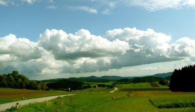
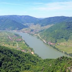
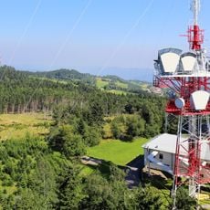
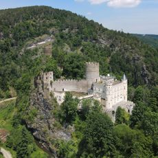
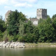
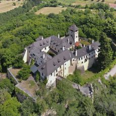
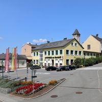
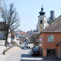
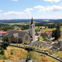
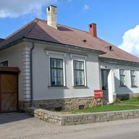
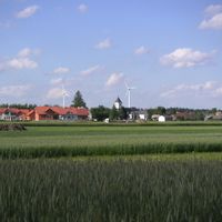
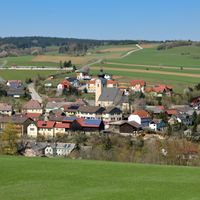
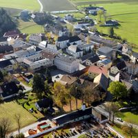
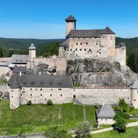
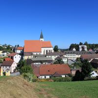
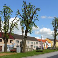
Zwettl District is an administrative area in Lower Austria comprising 24 municipalities spread across rolling countryside with mixed terrain. The landscape features river valleys, forests, and higher elevations that shape the character of each community.
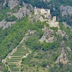
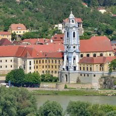
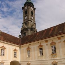
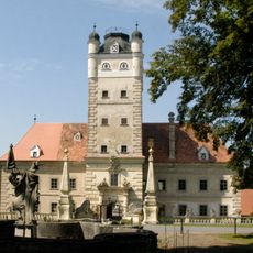
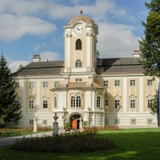
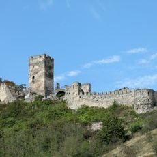
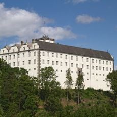
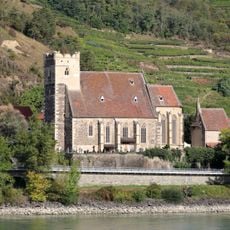
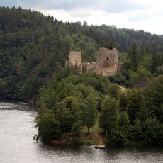
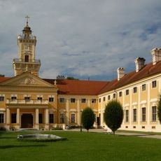
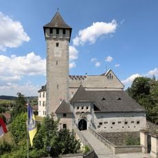
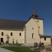
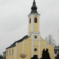
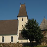
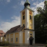
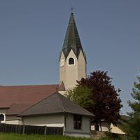
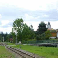
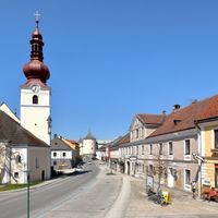
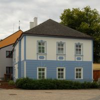
The area developed over centuries with medieval settlements, and the town of Zwettl gained municipal rights around the 1200s, establishing it as a regional center. These older communities remain important hubs within the district.
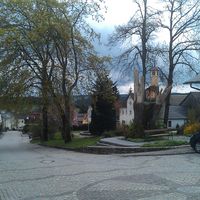
The district maintains regional traditions through seasonal markets, festivals, and community events that connect residents across its municipalities.
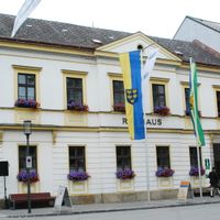
The district administration is centered in the town of Zwettl and serves the local communities. Exploring the area works best by car, since the municipalities are spread across rural countryside with winding roads connecting them.
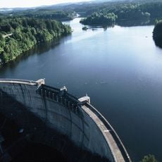
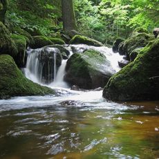
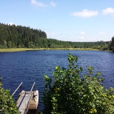
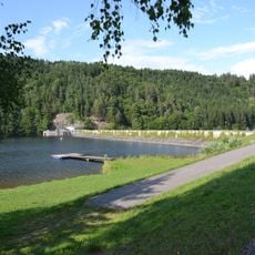
Two rivers, the Kamp and the Zwettl, wind through the district and shape its valleys and landscape character. These waterways remain central to local farming practices and offer opportunities for recreation throughout the region.
Location: Lower Austria
Elevation above the sea: 665 m
Shares border with: Melk District, Krems(Land) District, Gmünd District, Horn District, Waidhofen an der Thaya District, Freistadt District, Perg District
Website: http://noel.gv.at/service/bh/zt/bhzt.htm
GPS coordinates: 48.58100,15.15200
Latest update: December 7, 2025 20:44
Wachau
31.9 km
Ottenstein Reservoir
12.5 km
Dürnstein castle ruins
34.1 km
Stift Dürnstein
34.1 km
Zwettl Abbey
5.4 km
Rappottenstein Castle
9 km
Schloss Greillenstein
28 km
Schloss Rosenau
6.9 km
Ruine Hinterhaus
31.1 km
Gudenus cave
23.4 km
Stausee Dobra
17.3 km
Jauerling
30.2 km
Weitra Palace
23.1 km
Filialkirche St. Michael in der Wachau
31.5 km
Burg Ottenstein
13.6 km
Hartenstein Castle
23.4 km
Ruine Lichtenfels
12.7 km
Oberranna Castle
26.3 km
Ysperklamm
26.9 km
Burgruine Dobra
17.8 km
Schloss Schwarzenau
19.9 km
Schloss Jaidhof
25.3 km
Sendeturm Jauerling
30.2 km
Tanner Moor
22.7 km
Thurnberger Stausee
23.4 km
Schloss Allentsteig
18.3 km
Bear sanctuary Arbesbach
20 km
Waldviertel Pyramid
6.7 kmVisited this place? Tap the stars to rate it and share your experience / photos with the community! Try now! You can cancel it anytime.
Discover hidden gems everywhere you go!
From secret cafés to breathtaking viewpoints, skip the crowded tourist spots and find places that match your style. Our app makes it easy with voice search, smart filtering, route optimization, and insider tips from travelers worldwide. Download now for the complete mobile experience.
A unique approach to discovering new places❞
— Le Figaro
All the places worth exploring❞
— France Info
A tailor-made excursion in just a few clicks❞
— 20 Minutes