Stausee Dobra, reservoir in Austria
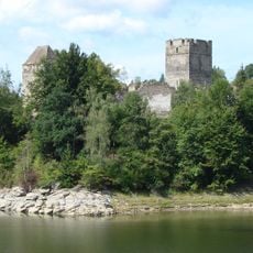
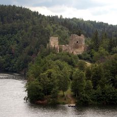
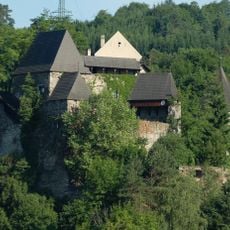
Stausee Dobra is the middle of the three reservoirs on the Kamp in the Waldviertel, beginning directly below the Ottenstein dam wall on the municipal boundary of Rastenfeld and Pölla. Its water surface covers 155 hectares, and the lake runs about five kilometres long, with wooded, steeply falling banks on both sides. The L7051 road follows the southern shore, and the ruins of Dobra stand on a peninsula jutting into the water.
Plans to use the Kamp for hydropower date to before World War I, when a 1913 concession for the whole river lapsed during the war. Construction of the Dobra-Krumau storage power station began on 1 October 1949; the NEWAG, today's EVN AG, built the dam between 1950 and 1953. Two years after completion the Dobra dam wall was raised by two metres to supply the Ottenstein pumped-storage plant.
The reservoir lies in the Waldviertel, the rural region of Lower Austria, and its shores belong to the municipalities of Rastenfeld and Pölla. The dam itself stands on the municipal boundary and belongs mostly to Rastenfeld. Above the southern bank rises the ruin of Dobra on a peninsula, and the L7051 country road runs along that shore.
The reservoir lies on the Kamp below the Ottenstein dam, in the municipalities of Rastenfeld and Pölla; the L7051 runs along the southern bank. The dam wall stands on the municipal boundary and belongs mostly to Rastenfeld. The water is fished for carp, pike, zander, eel and tench.
The reservoir's fish population includes carp, pike, zander, eel, tench, bream, nase and chub, which is why it is a popular angling water. The Dobra dam was raised by two metres two years after completion so that the Ottenstein plant would have enough water for pumped operation. The ruins of Dobra stand on a peninsula on the shore.
The community of curious travelers
AroundUs brings together thousands of curated places, local tips, and hidden gems, enriched daily by 94,136 contributors worldwide.