Lower Austria, Historical region and federal state in northeastern Austria.
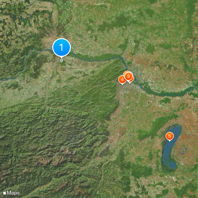
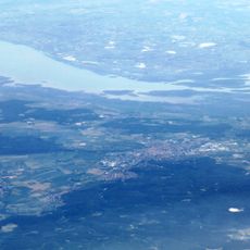
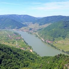
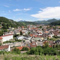
This federal state wraps around Vienna and extends from the Danube Valley to the Czech border in the north. The territory covers around 19,000 square kilometers (7,300 square miles) and includes Alpine foothills in the south, granite highlands in the northwest, and flat agricultural land in the east.
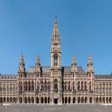
The area formed the core of the old Duchy of Austria under Habsburg rule for centuries. It became a separate federal state in 1921 when Vienna split off and St. Pölten took over as the new regional capital.
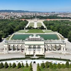
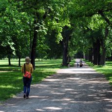
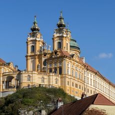
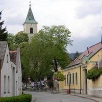
Medieval abbeys like Melk and Klosterneuburg still house religious communities and display centuries of art and architecture. Vineyards shape much of the land, where winemakers run traditional wine taverns called Heurige and maintain long rows of cellar lanes.
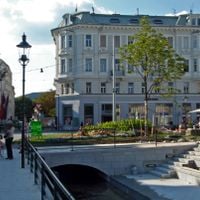
The state divides into four quarters with different landscapes and local economies: Weinviertel in the northeast, Waldviertel in the northwest, Mostviertel in the southwest, and Industrieviertel in the southeast. Each zone can be reached from Vienna using regional trains and road networks that connect towns and villages.
The state shares borders with five other Austrian regions and has about 410 kilometers (255 miles) of frontier with the Czech Republic and Slovakia. Despite its size, much of the northwest remains thinly settled, with villages scattered across forested highlands far from major roads.
The community of curious travelers
AroundUs brings together thousands of curated places, local tips, and hidden gems, enriched daily by 60,000 contributors worldwide.