Sankt Pölten District, Administrative district in Lower Austria, Austria
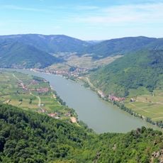
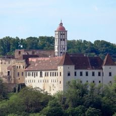
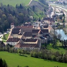
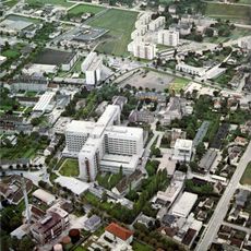
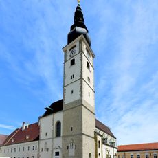
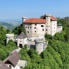
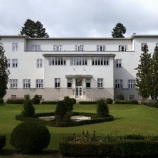
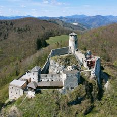
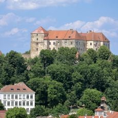
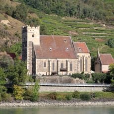
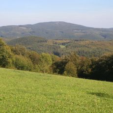
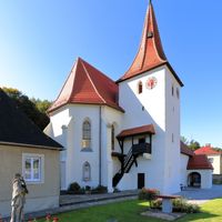
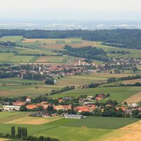
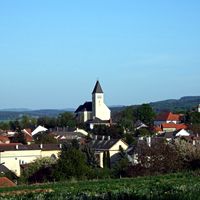
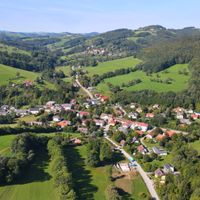
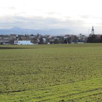
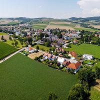
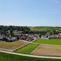
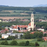
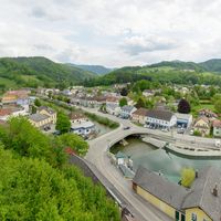
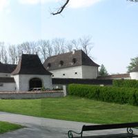
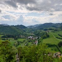
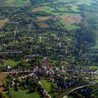
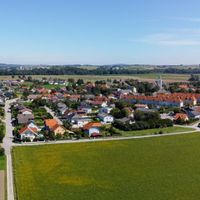
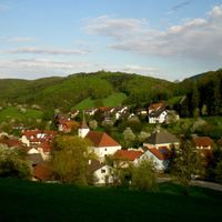
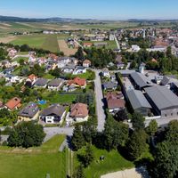
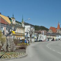
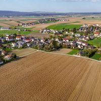
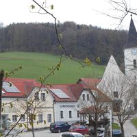
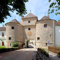
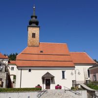
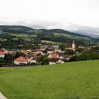
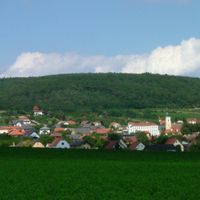
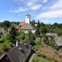
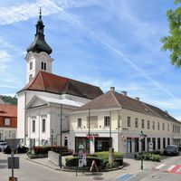
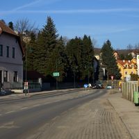
Sankt Pölten Land District is an administrative region in Lower Austria comprising multiple municipalities spread across varied terrain surrounding the independent city of Sankt Pölten. The district includes both rural villages and places with larger population centers within a unified administrative area.
The district was given its current administrative structure during the 19th century when local governance was reorganized under the Habsburg monarchy. A major territorial expansion occurred in 2016 when several municipalities from an adjacent administrative area were added to its territory.
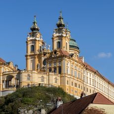
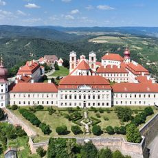
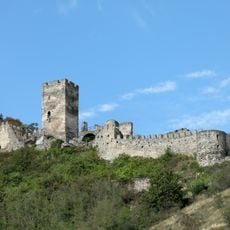
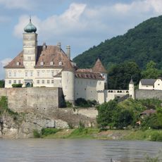
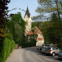
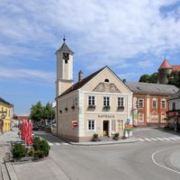
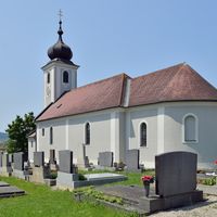
Each municipality here maintains traditional festivals and events throughout the year that connect residents through shared customs and regional celebrations. These local traditions shape everyday life and create a strong sense of community in the smaller towns and villages.
The district office processes administrative documents for residents of all municipalities, including marriage certificates, building permits, and identification papers. Visitors should contact the local municipal offices for information about area services and opening hours of individual administrative centers.
The district significantly expanded its territory in 2016 by incorporating several municipalities from an adjacent administrative area, strengthening its connection to the capital region. This merger fundamentally changed the boundaries of the district and made it a larger administrative hub for the surrounding area.
The community of curious travelers
AroundUs brings together thousands of curated places, local tips, and hidden gems, enriched daily by 60,000 contributors worldwide.