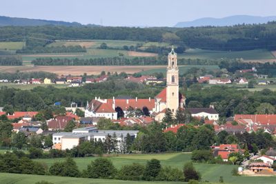
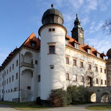
Herzogenburg, Administrative division in Sankt Pölten-Land, Austria.
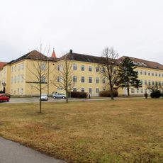
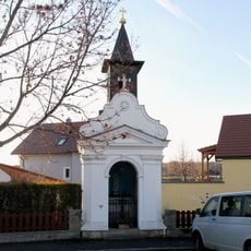
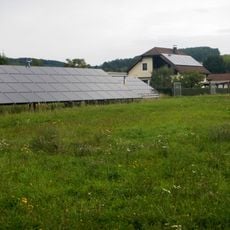
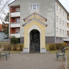
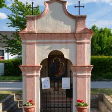
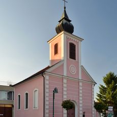
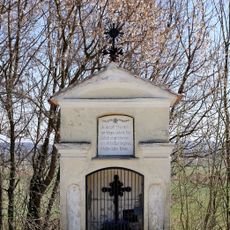
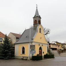
Herzogenburg is a municipality in Lower Austria that encompasses several villages and residential areas across rolling terrain. The district contains houses, agricultural land, and local centers that form the pattern of a small rural community in the region.
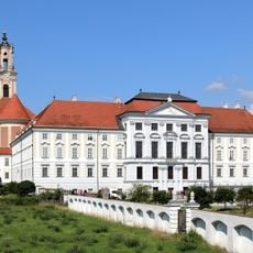
Herzogenburg was organized as an administrative district during the 19th century and has remained an important part of the regional administration in Lower Austria. The municipality developed into a local administrative center and continues this role today.
District offices in Herzogenburg manage essential government functions, including the issuance of marriage licenses, driver licenses, passports, and hunting permits for local residents.
Visitors can access the town hall and local administrative offices during standard business hours. The area is easily reached by car and offers parking options in the village centers and main areas.
The district system divides responsibilities between regular district commissions and statutory cities, with Herzogenburg operating under specific administrative guidelines for smaller municipalities.
GPS coordinates: 48.29410,15.73829
Latest update: December 7, 2025 20:43
Herzogenburg Priory
3.2 km
Schloss Walpersdorf
4.9 km
Schloss Heiligenkreuz, Gutenbrunn
3.1 km
Schloss Sitzenberg
6 km
Stift Sankt Andrä an der Traisen
1.7 km
Pfarrkirche Inzersdorf ob der Traisen
5.2 km
Maria Himmelfahrt, Heiligenkreuz, Gutenbrunn
3.1 km
Marienmühle, Getzersdorf
3.2 km
Pfarrkirche Reidling
6.6 km
Pfarrkirche hll. Simon und Judas, Weißenkirchen an der Perschling
5 km
Friedhof Inzersdorf an der Traisen
5.6 km
Flur-/Wegkapelle
6 km
War memorial chapel and cemetery, Herzogenburg
3.5 km
Grabmal der Freifrau von Rumerskirchen
6.6 km
Kath. Filialkirche Mariä Himmelfahrt und Friedhof
4.2 km
Ehem. Johanneskirchen
1.6 km
Johanneskapelle, Gutenbrunn
3.1 km
Mausoleum der Familie Rumerskirchen
6.6 km
Gemeindeamt und Heimatmuseum
5.2 km
Bürgerhaus
3.4 km
Wayside shrine 29397, Etzersdorf
3.1 km
Wayside shrine Ortsstraße, St. Andrä an der Traisen
1.5 km
Flur-/Wegkapelle
3.5 km
Ortskapelle Mariahilf
6.5 km
Flur-/Wegkapelle, Schmiedkreuz
5.1 km
Ortskapelle Ossarn
2.9 km
Ortskapelle
5.1 km
Flur-/Wegkapelle, Statterkreuz
1.9 kmVisited this place? Tap the stars to rate it and share your experience / photos with the community! Try now! You can cancel it anytime.
Discover hidden gems everywhere you go!
From secret cafés to breathtaking viewpoints, skip the crowded tourist spots and find places that match your style. Our app makes it easy with voice search, smart filtering, route optimization, and insider tips from travelers worldwide. Download now for the complete mobile experience.
A unique approach to discovering new places❞
— Le Figaro
All the places worth exploring❞
— France Info
A tailor-made excursion in just a few clicks❞
— 20 Minutes