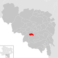
Neunkirchen District, Administrative district in Lower Austria, Austria
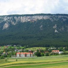
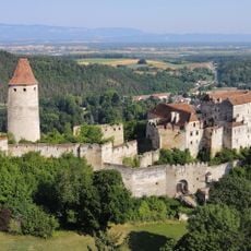
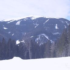
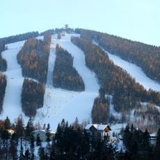
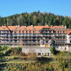
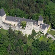
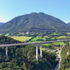
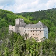
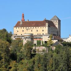
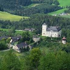
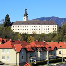
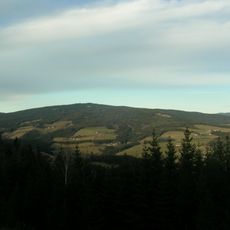
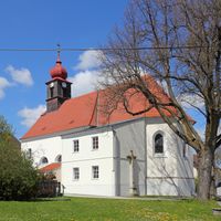
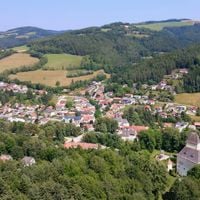
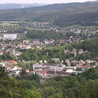
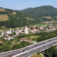
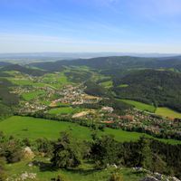
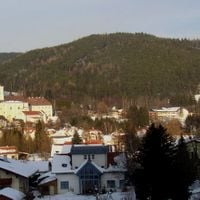
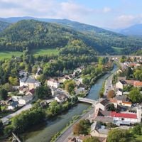
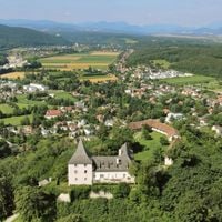
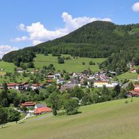
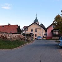
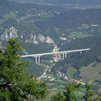
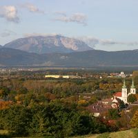
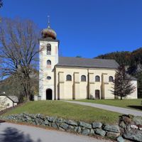
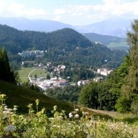
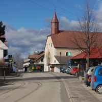
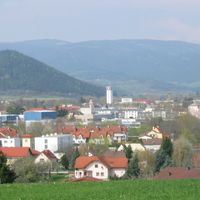
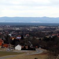
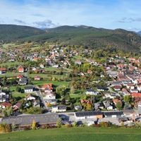
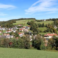
Neunkirchen District is an administrative region in southern Lower Austria comprising 45 municipalities spread across valleys and mountain landscapes. The area includes both small villages and larger settlements that together form a connected administrative zone centered around the town of Neunkirchen.
The administrative structure of the district was created in the 19th century during a period of state reorganization in Austria. Since then, it has developed as a stable administrative zone coordinating local governance across its municipalities.
The district maintains traditional Austrian administrative practices through its district commissions, which handle marriage licenses, public health matters, and municipal regulations.
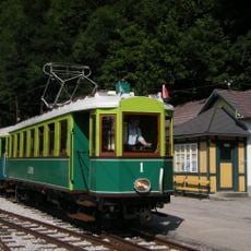
You can explore the region by traveling between villages or hiking to discover the varied landscapes and small communities. The administrative center in the town of Neunkirchen serves as an orientation point and base for exploring the surrounding municipalities.
Each municipality within the district displays its NK vehicle registration code, distinguishing the 45 communities that form this administrative region.
Location: Lower Austria
Elevation above the sea: 572 m
Shares border with: Wiener Neustadt, Wiener Neustadt(Land) District, Lilienfeld District, Bruck-Mürzzuschlag District, Weiz District, Hartberg-Fürstenfeld District
Website: http://noel.gv.at/bezirke/BH-Neunkirchen.html
GPS coordinates: 47.72690,16.08170
Latest update: December 7, 2025 19:26
Venus of Willendorf
6.7 km
Semmering railway
20.9 km
Schneeberg
21.2 km
Rothschild Castle
19.4 km
Hohe Wand
11.4 km
Türkensturz
6.7 km
Südbahnhotel Semmering
21.2 km
Villa Wartholz
19.4 km
Burg Seebenstein
5.8 km
Stuhleck
27.7 km
Raxseilbahn
20.8 km
Burg Grimmenstein
11 km
Hirschenkogel
21.9 km
Kurhaus Semmering
21 km
Burg Wartenstein
14.9 km
Höllental Railway
18.4 km
Sonnwendstein
19.8 km
Stixenstein Castle
7.9 km
Burgruine Starhemberg
15.6 km
Schloss Krumbach
26.4 km
Castle ruin Klamm
17.7 km
Kranichberg Castle
12.2 km
Einhornhöhle
14.6 km
Burgruine Emmerberg
10 km
Thermalbad, Bad Fischau
13.2 km
Hermannshöhle
14.3 km
Gloggnitz Castle
12.9 km
Teufelstein
45.2 kmVisited this place? Tap the stars to rate it and share your experience / photos with the community! Try now! You can cancel it anytime.
Altendorf
Gemeinde Aspang
Aspangberg-St. Peter
Breitenau
Breitenstein
Buchbach
Gemeinde Bürg-Vöstenhof
Edlitz
Enzenreith
Feistritz am Wechsel
Gloggnitz
Grafenbach-Sankt Valentin
Grimmenstein
Grünbach am Schneeberg
Höflein an der Hohen Wand
Kirchberg am Wechsel
Mönichkirchen
Gemeinde Natschbach-Loipersbach
Neunkirchen
Otterthal
Gemeinde Payerbach
Gemeinde Pitten
Prigglitz
Puchberg am Schneeberg
Raach am Hochgebirge
Reichenau an der Rax
Gemeinde Scheiblingkirchen-Thernberg
Schottwien
Gemeinde Schrattenbach
Schwarzau am Steinfeld
Gemeinde Schwarzau im Gebirge
Seebenstein
Semmering
Gemeinde St. Corona am Wechsel
Gemeinde St. Egyden am Steinfeld
Ternitz
Thomasberg
Trattenbach
Warth
Gemeinde Wartmannstetten
Willendorf
Gemeinde Wimpassing im Schwarzatale
Würflach
Gemeinde Zöbern
Discover hidden gems everywhere you go!
From secret cafés to breathtaking viewpoints, skip the crowded tourist spots and find places that match your style. Our app makes it easy with voice search, smart filtering, route optimization, and insider tips from travelers worldwide. Download now for the complete mobile experience.
A unique approach to discovering new places❞
— Le Figaro
All the places worth exploring❞
— France Info
A tailor-made excursion in just a few clicks❞
— 20 Minutes