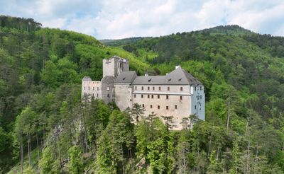
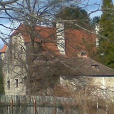
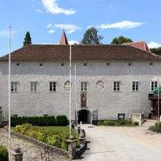
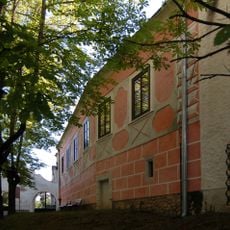
Stixenstein Castle, Medieval castle in Ternitz, Austria.
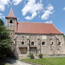
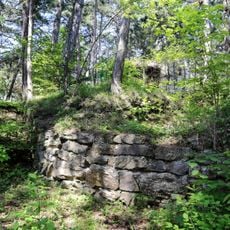
Stixenstein is a medieval castle ruin standing on a hill above the Sierning valley with expansive views across the Lower Austrian landscape. The stone walls display multiple construction phases, revealing how the fortress was expanded and rebuilt at different times throughout the medieval period.
The fortress was founded in the medieval period and underwent several phases of reconstruction and expansion over the centuries. These building campaigns reflected changing military needs, regional conflicts, and the shifting importance of the location.
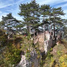
The ruins serve as a landmark for the region and represent how people here connect with their local past. The structure sits as a visible reminder of the valley's medieval character and remains part of how residents perceive their surroundings.
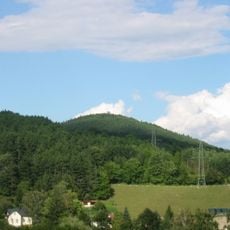
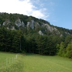
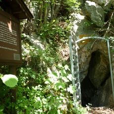
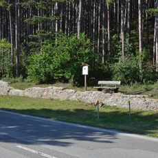
The site is accessible via hiking trails that branch from the roads connecting Sieding and Puchberg am Schneeberg to the surrounding area. Several routes of varying difficulty surround the location, allowing visitors to choose a path that suits their fitness level.
The ruins remain less visited than other Austrian castles, offering a quieter experience for visitors seeking less crowded exploration. This relative isolation allows walkers to absorb the site's sense of remoteness and medieval solitude more directly.
The community of curious travelers
AroundUs brings together thousands of curated places, local tips, and hidden gems, enriched daily by 60,000 contributors worldwide.