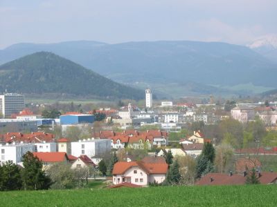
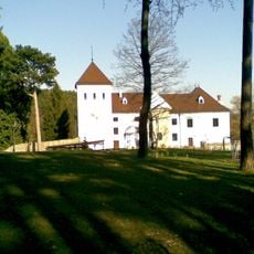
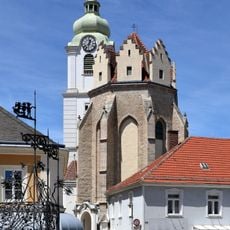
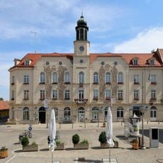
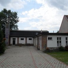
Ternitz, Municipal administration center in Neunkirchen district, Lower Austria.
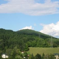
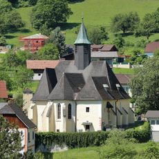
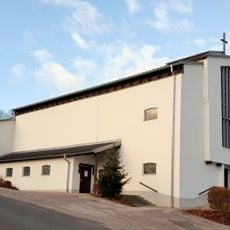
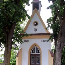
Ternitz is a municipality in Lower Austria at the western edge of Steinfeld plain, where the Sierning stream meets the Schwarza River. The town spreads across ten district parts that together form the local community.
The area first appeared in written records during 1352 and gained official town rights in 1948. This recognition followed a long period of development from medieval times to the modern era.
The town square serves as the social heart where residents gather for shopping and meeting throughout the year. Local craftsmanship traditions and small family businesses shape how people experience daily life here.
The visitor center and local tourism information can help you get oriented when arriving in the area. Getting a map before exploring the different districts makes sense since the ten subdivisions are spread across the terrain.
Each year during the Christmas season, LED light installations create stars and garlands that brighten streets across the town. This glowing decoration turns the streets into a festive space that draws many visitors.
Location: Neunkirchen District
Inception: 1352
Elevation above the sea: 393 m
Shares border with: Puchberg am Schneeberg, Schrattenbach, Würflach, Neunkirchen, Wartmannstetten, Wimpassing im Schwarzatale, Grafenbach-Sankt Valentin, Enzenreith, Buchbach, Bürg-Vöstenhof, Prigglitz
Email: gemeinde@ternitz.at
Website: https://ternitz.gv.at
GPS coordinates: 47.71667,16.03333
Latest update: December 7, 2025 10:08
Stixenstein Castle
5.1 km
Stuppach Castle
6.8 km
Dunkelstein
1.2 km
Schloss Vöstenhof
3.9 km
Gfieder
1.8 km
Schloss Pottschach
2.9 km
Naturpark Sierningtal-Flatzer Wand
4.2 km
Church of the Assumption in Neunkirchen
3.5 km
Saint Lawrence Church
2.7 km
Saint John the Baptist Church
1.5 km
Pfarrkirche Pottschach
2.8 km
Langes Loch
3.7 km
Städtisches Museum Neunkirchen, Lower Austria
3.8 km
Stadtpfarrkirche Ternitz
92 m
Minoritenkloster Neunkirchen
3.5 km
Subsidiary church Prigglitz
8 km
Pfarrkirche Wimpassing im Schwarzatale
2.1 km
Parish church St. Valentin-Landschach
3.7 km
Saints Peter and Paul Church
1.2 km
Marien-Dankes-Kirche Wartmannstetten
4.3 km
Gloggnitz power plant
9.1 km
Filialkirche Sieding
4.8 km
Rathaus Neunkirchen
3.6 km
Lukaskirche Ternitz
678 m
Flur-/Wegkapelle
5.8 km
Flur-/Wegkapelle
3.6 km
Ortskapelle hl. Johannes Nepomuk
4.9 km
Wegkapelle
3.7 kmVisited this place? Tap the stars to rate it and share your experience / photos with the community! Try now! You can cancel it anytime.
Discover hidden gems everywhere you go!
From secret cafés to breathtaking viewpoints, skip the crowded tourist spots and find places that match your style. Our app makes it easy with voice search, smart filtering, route optimization, and insider tips from travelers worldwide. Download now for the complete mobile experience.
A unique approach to discovering new places❞
— Le Figaro
All the places worth exploring❞
— France Info
A tailor-made excursion in just a few clicks❞
— 20 Minutes