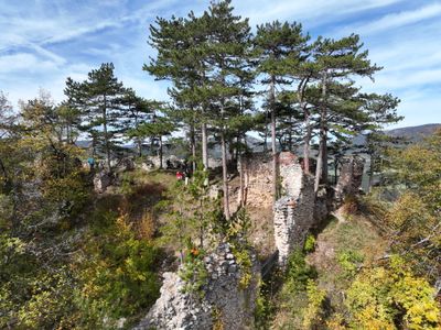
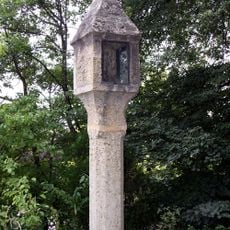
Schrattenstein castle ruins, Medieval castle ruins in Schrattenbach, Austria.
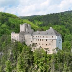
Schrattenstein castle ruins stand on a rocky cliff near Schrattenbach, Austria, and consist of stone walls, gate structures, and a central courtyard overlooking forested valleys. The site is accessible via marked hiking paths and shows the characteristic layout of medieval defensive structures from this region.
The castle was first mentioned in the 12th century and served as a regional fortification for several hundred years. It was abandoned after the Hungarian Wars under Matthias Corvinus in the late 1400s and slowly fell into decay.
The stone structures reveal how medieval communities built their fortifications on mountain ridges to defend the surrounding lands. Walking through the ruins, you notice how the buildings were organized around a central courtyard, showing how people arranged their daily life within these defensive walls.
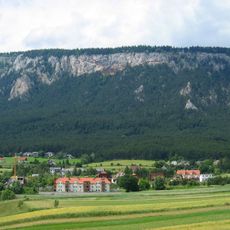
The ruins are reached via marked hiking trails that wind through forests and lead up the hillside to the ruins. Sturdy footwear is important since the paths are not paved, and visitors should allow time for the uphill walk through the woods.
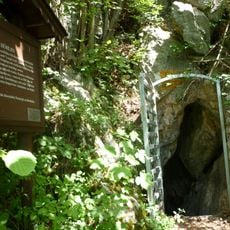
A small cave carved into the mountainside within the courtyard shows signs of ancient human modification and remains partly hidden among the stones. This geological feature suggests the castle builders adapted the natural rock formation for their fortress.
The community of curious travelers
AroundUs brings together thousands of curated places, local tips, and hidden gems, enriched daily by 60,000 contributors worldwide.