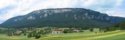
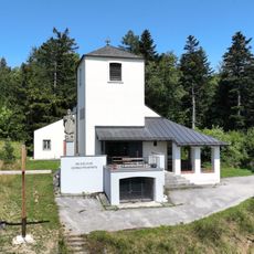
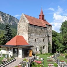
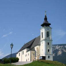
Hohe Wand, Mountain ridge in Lower Austria, Austria.
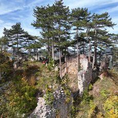
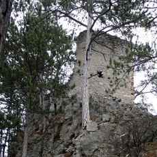
Hohe Wand is a limestone mountain range in Lower Austria that extends for 8 kilometers and is characterized by steep rock faces on its southern and southeastern sides. The summit reaches 1,132 meters and is crossed by over 700 climbing routes that provide options for different skill levels.
The mountain became more accessible through the construction of a toll road between 1931 and 1932, connecting the towns of Stollhof and Maiersdorf. This road made it easier for more people to reach and explore the mountain.
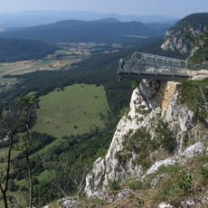
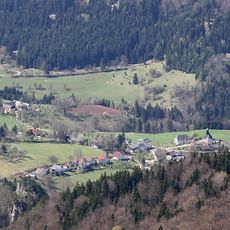
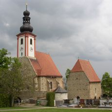
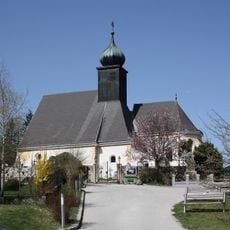
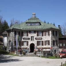
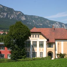
The mountain serves as a defining landmark in the local landscape, recognized by residents as a natural boundary between valleys. Visitors come here to experience the outdoors and enjoy expansive views across the region.
Hiking paths start from several points including Dürnbach valley, Grünbach, and Miesenbach and lead to the summit with varying levels of difficulty. Visitors should bring sturdy shoes and plenty of water, as the routes can be demanding otherwise.
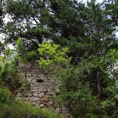
The mountain is home to around 225 caves, including the Unicorn Cave near Dreistetten, which opens to visitors as a site for learning about geology. At the same time, paragliders and hang gliders regularly launch from three designated spots to take advantage of the favorable wind currents.
The community of curious travelers
AroundUs brings together thousands of curated places, local tips, and hidden gems, enriched daily by 60,000 contributors worldwide.