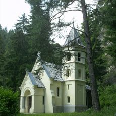
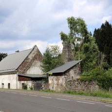
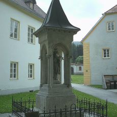
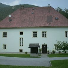
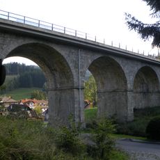
Stuhleck, Mountain summit in Spital am Semmering, Austria
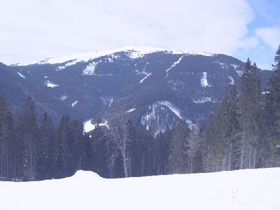
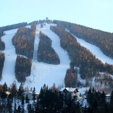
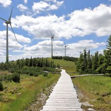
Stuhleck rises to 1,782 meters as the highest peak in the eastern Northern Austrian Alps, with grassy slopes at upper elevations and dense forests lower down. The ski area offers about 24 kilometers of groomed slopes suited to different ability levels.
Originally a natural landmark of the region, Stuhleck received ski infrastructure in the late 20th century that transformed it into a winter sports center. This shift followed growing interest in Alpine sports throughout the area.
The mountain plays an important role in how people in the Semmering region spend their winters and summers. Skiers and hikers from nearby towns come here regularly, making it part of their seasonal rhythm.
The slopes are accessible for beginners through advanced skiers, while summer months work well for hiking and mountain biking. Plan for changing weather and bring gear suited to the season you visit.
From the summit you can see a striking contrast between the eastern prealpine landscapes and the taller western Alpine peaks beyond. This view reveals the geographic diversity of the entire region in a single glance.
GPS coordinates: 47.57419,15.78996
Latest update: December 10, 2025 16:20
Hirschenkogel
6.3 km
Millenniumswarte
6.3 km
Parish church Spital am Semmering
5.2 km
Alfredhütte Steinhaus
4.8 km
Pfarrkirche hl. Florian, Rettenegg
5.5 km
Friedhof und ehem. Totenkammer
5.6 km
Kirchhof/Friedhof ehemaliger, Friedhofsmauer
5.3 km
Zatzka-Kapelle
6 km
Rathaus/Gemeindeamt
5.4 km
Eduard Nittner monument, Spital am Semmering
7.2 km
Carolus-Denkmal, Semmering
7.1 km
Pfarrheim, ehem. Armenhaus
5.5 km
Südbahnstrecke Semmering-Bahn (Gloggnitz-Mürzzuschlag)
5.2 km
Schwarzriegelmoos
2.1 km
Holzergraben viaduct
5.2 km
Hammerwerk Rettenegg
6.3 km
Südbahnstrecke Semmering-Bahn (Gloggnitz-Mürzzuschlag)
6.6 km
Bildstock
5.4 km
Südbahnstrecke Semmering-Bahn (Gloggnitz-Mürzzuschlag)
5.7 km
Bildstock
5.3 km
Pfarrhof
5.3 km
Steinhauser viaduct
5.3 km
Pfarrhof
5.6 km
Erzstollen
4.8 km
Schloss Sommerau, Franz-Jawornik-Heim des Kriegsopferverbandes Stmk.
5.4 km
Jauern viaduct
5 km
Soldatenfriedhof Rettenegg
5.5 km
Gutshof, Nebengebäude d. Pfarrhofs
5.3 kmVisited this place? Tap the stars to rate it and share your experience / photos with the community! Try now! You can cancel it anytime.
Discover hidden gems everywhere you go!
From secret cafés to breathtaking viewpoints, skip the crowded tourist spots and find places that match your style. Our app makes it easy with voice search, smart filtering, route optimization, and insider tips from travelers worldwide. Download now for the complete mobile experience.
A unique approach to discovering new places❞
— Le Figaro
All the places worth exploring❞
— France Info
A tailor-made excursion in just a few clicks❞
— 20 Minutes