Lilienfeld District, Administrative district in Lower Austria, Austria
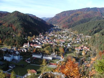
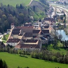
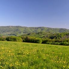
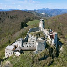
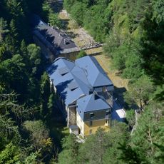
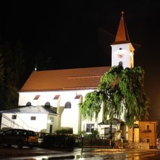
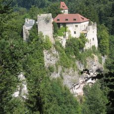
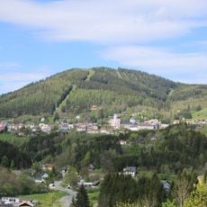
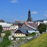
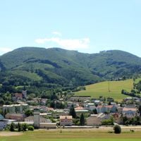
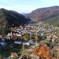
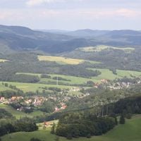
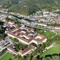
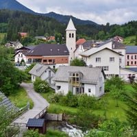
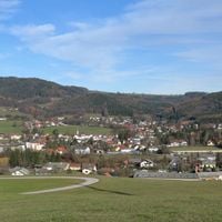
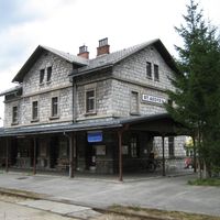
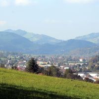
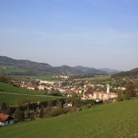
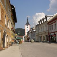
The Lilienfeld District is an administrative division in Lower Austria comprising fourteen municipalities spread across forested and hilly terrain. The area features small towns and villages connected by rural roads, with landscapes shaped by meadows and woodlands.
The district was created in 1868 as an administrative unit in Lower Austria. Following its dissolution in 1890, it was later re-established and has remained an administrative entity since then.
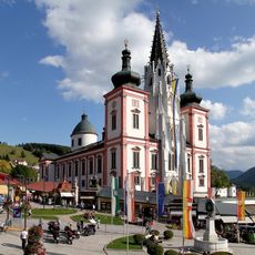
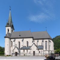
The district shows a rural character shaped by its scattered villages and small towns, where traditional crafts and local customs continue in daily life. Residents maintain ties to the surrounding forests and meadows, which influence how communities gather and celebrate together.
The area is accessible from larger towns like St. Pölten and well-connected by regional roads linking its communities. Visitors should allow extra time for travel, as public transportation is limited in these rural areas.
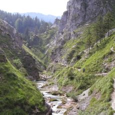
The district is sparsely populated with roughly 27 residents per square kilometer, placing it among Lower Austria's least densely settled areas. This low population density preserves the quiet of the landscape and allows for undisturbed walks through forests and valleys.
The community of curious travelers
AroundUs brings together thousands of curated places, local tips, and hidden gems, enriched daily by 60,000 contributors worldwide.