Lilienfeld, capital of Lilienfeld District, Lower Austria, Austria
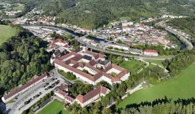
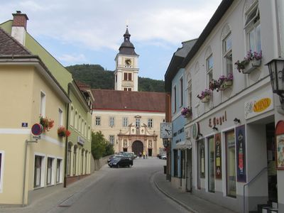
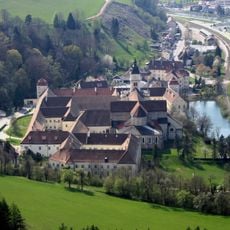
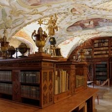
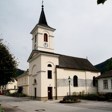
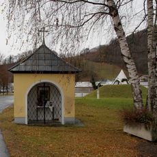
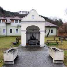
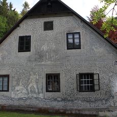
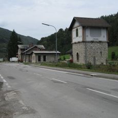
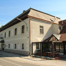
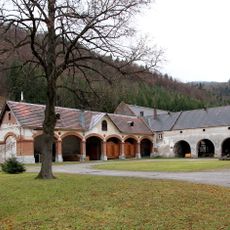
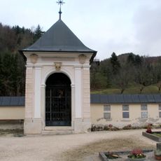
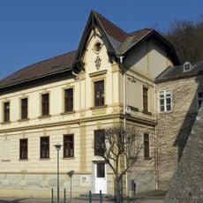
Lilienfeld is a small town in the Lilienfeld District of Lower Austria, situated in a river valley surrounded by green hills and forests. With about 2,600 residents, it is defined by its medieval monastery founded in 1202, which features a church over 80 meters long, historic cloisters, and a valuable library with painted ceilings and wooden shelves.
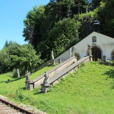
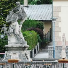
The town was shaped by the founding of the Benedictine monastery in 1202 by Duke Leopold VI, which received a relic of the Holy Cross in 1219 and became the largest medieval monastery in Central Europe. During the 17th century, it suffered devastation from Turkish invasions, yet the monastery retained its central role in the region.
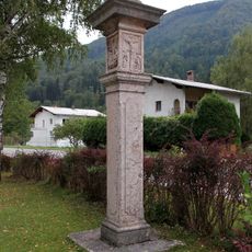
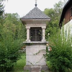
The name may derive from the fire lily flower that grows in the surrounding fields, or from old words meaning honeysuckle found in the forest. The monastery shapes the town's character and holds deep significance for residents as a center of local identity and spiritual tradition.
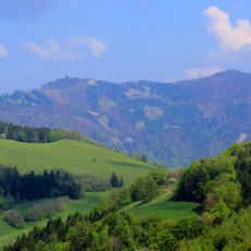
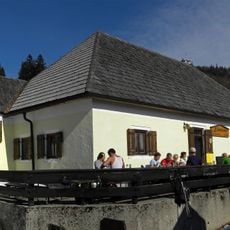
The area is easily accessible by public transport and offers walking trails plus access to the chairlift up Muckenkogel with views of the surrounding landscape. The region is well-suited for hiking, cycling along the Traisentalradweg route, and seasonal skiing activities.
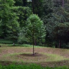
The town was the birthplace of modern skiing, where Mathias Zdarsky organized the first giant slalom on Muckenkogel in 1905 and developed skiing techniques that shaped the sport. Nearly 80 percent of the town's area is covered with forest, making it known as one of Austria's green lungs for its dense woodland landscape.
The community of curious travelers
AroundUs brings together thousands of curated places, local tips, and hidden gems, enriched daily by 60,000 contributors worldwide.