Gutenstein Alps, Mountain range in Lower Austria, Austria
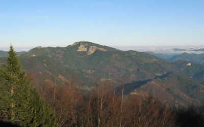
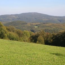
The Gutenstein Alps stretch across northeastern Lower Austria as a limestone mountain range shaped by water and erosion. The highest peak, Reisalpe, stands at around 1,400 meters (4,600 feet) and overlooks rolling terrain below.
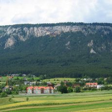
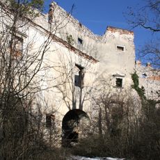
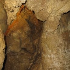
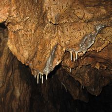
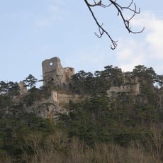
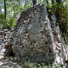
These limestone mountains formed millions of years ago during the Triassic period and represent some of the region's oldest rock formations. Caves like Einhornhöhle near Dreistetten show how water has shaped this landscape over geological time.
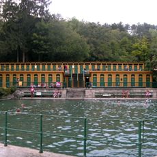
The mountains supply water to Vienna through a pipeline built in the 19th century, and locals are proud of this connection between their region and the capital. The springs here remain essential to how the city functions today.
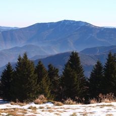
Marked hiking trails connect mountain huts and villages throughout the range, with parking available at trailheads near Pernitz and Gutenstein. Spring through autumn are the best seasons to explore, when snow does not block the paths.
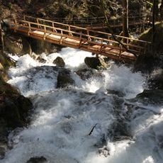
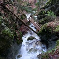
The Myrafälle waterfalls and Steinwandklamm gorge show how water has carved deep channels through limestone over countless centuries. Visitors can walk right through these narrow passages and see the rock formations up close as they narrow overhead.
The community of curious travelers
AroundUs brings together thousands of curated places, local tips, and hidden gems, enriched daily by 60,000 contributors worldwide.