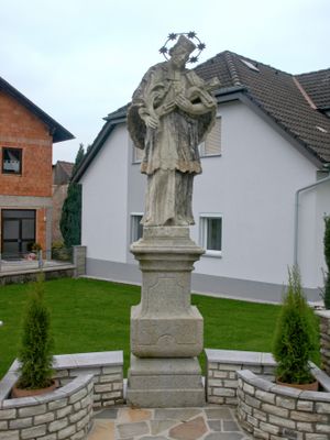
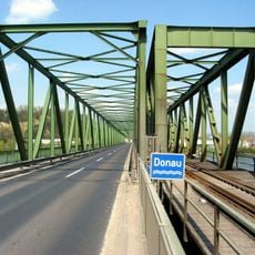
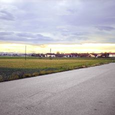
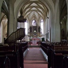
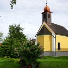
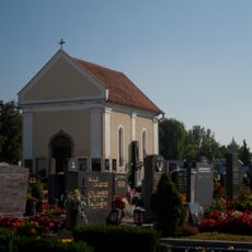
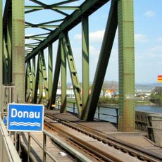
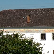
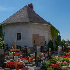
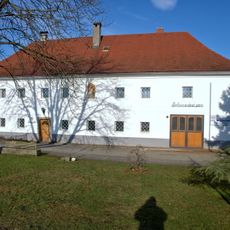
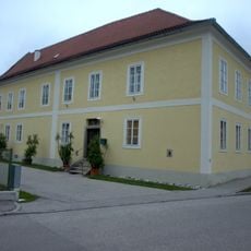
Sankt Pantaleon-Erla, municipality in Amstetten District, Lower Austria, Austria
Location: Amstetten District
Elevation above the sea: 242 m
Shares border with: Enns, Mauthausen, Naarn im Machlande, Strengberg, St. Valentin, Ennsdorf
Email: gemeinde@st-pantaleon-erla.gv.at
Website: http://st-pantaleon-erla.gv.at
GPS coordinates: 48.19917,14.57139
Latest update: April 4, 2025 03:45
Mauthausen Danube bridge
5.2 km
Schloss Erla St. Pantaleon
151 m
Soldatenfriedhof Mauthausen
5.6 km
Albing
3.1 km
Parish church in Naarn
4 km
Pfarrkirche St. Pantaleon
1.4 km
Stiftskirche Erla
116 m
Harter Schlössel
4.2 km
Flößerkapelle
3.1 km
Schiffzug
5.3 km
Filialkirche hl. Maria Magdalena, Rems
3.1 km
Kapelle St. Valentin
3.5 km
Friedhofskapelle
3.8 km
Friedhofskapelle St. Pantaleon-Erla
1.3 km
Eder-Kapelle
1.4 km
Raucheggerkapelle
3.3 km
Mauthausen railway bridge
5.2 km
Schiffszug
5.2 km
Immaculata Säule St. Valentin
3.8 km
Aufbahrungshalle, Karner
3.8 km
Rathaus/Gemeindeamt
4 km
Ehem. Gutshof St. Pantaleon
2 km
Pfarrhof
4 km
Figurenbildstock hl. Johannes Nepomuk
1.3 km
Pfarrhof St. Pantaleon
1.3 km
Wohn- und Geschäftshaus
4 km
Figurenbildstock hl. Valentin St. Valentin
4 km
Linde bei Au
3.6 kmReviews
Visited this place? Tap the stars to rate it and share your experience / photos with the community! Try now! You can cancel it anytime.
Discover hidden gems everywhere you go!
From secret cafés to breathtaking viewpoints, skip the crowded tourist spots and find places that match your style. Our app makes it easy with voice search, smart filtering, route optimization, and insider tips from travelers worldwide. Download now for the complete mobile experience.
A unique approach to discovering new places❞
— Le Figaro
All the places worth exploring❞
— France Info
A tailor-made excursion in just a few clicks❞
— 20 Minutes