
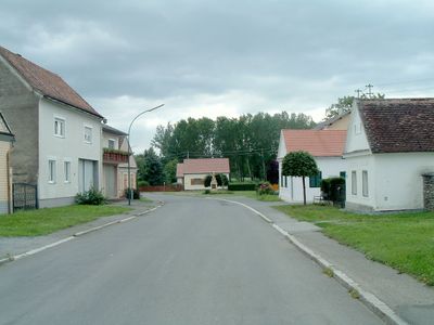
Bildein, municipality in Güssing District, Burgenland, Austria
Location: Güssing District
Elevation above the sea: 225 m
Email: post@bildein.bgld.gv.at
Website: http://bildein.at
GPS coordinates: 47.13083,16.46611
Latest update: April 20, 2025 22:21
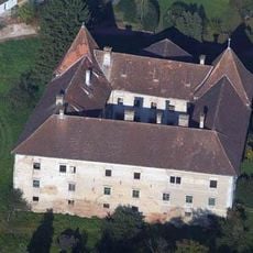
Eberau Castle
3.1 km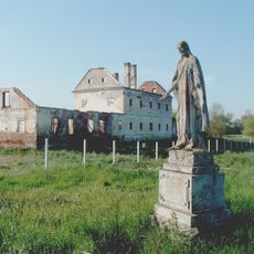
Pernau monastery
2.8 km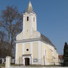
Saint Vitus Church
280 m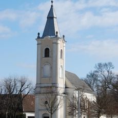
Pfarrkirche Eberau
2.9 km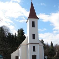
Josephs-Kapelle
2.1 km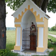
Florianikapelle, Bildein
825 m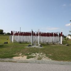
Grenzerfahrungsweg Bildein
73 m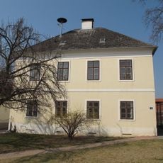
Pfarrhof Unterbildein
260 m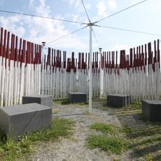
Labyrinth Bildein
89 m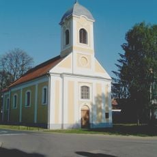
Szent Margit-templom
2.9 km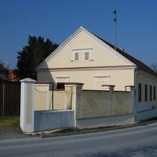
Ehem. kath. Volksschule
271 m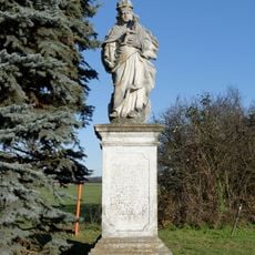
Mariensäule
2.5 km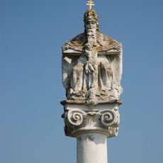
Throne of Mercy monument
774 m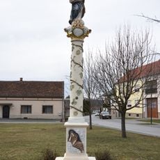
Mariensäule Bildein
307 m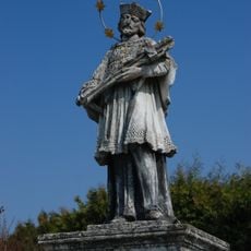
Figurenbildstock hl. Johannes Nepomuk
204 m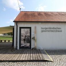
Burgenländisches Geschichte(n)haus
261 m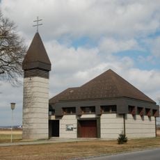
Filialkirche zum hl. Stephan, Höll
2.4 km
Ortsumwallung Eberau
3 km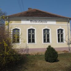
Ehem. Volksschule
387 m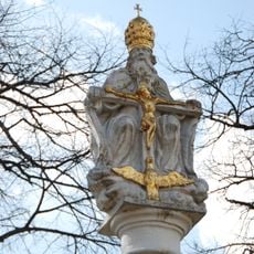
Gnadenstuhl
2.8 km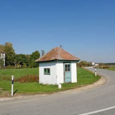
Zollwärterhäuschen
2.7 km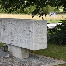
Höll War Memorial
2.4 km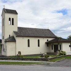
Filialkirche Edlitz
2.4 km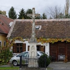
Amerikanerkreuz
2.6 km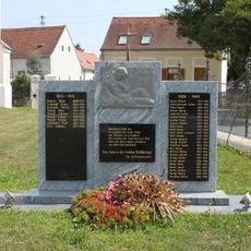
Unterbildein War Memorial
288 m
Pranger
2.8 km
Pfarrhof
2.8 km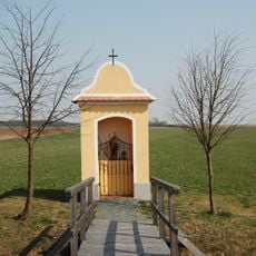
Wegkapelle
748 mReviews
Visited this place? Tap the stars to rate it and share your experience / photos with the community! Try now! You can cancel it anytime.
Discover hidden gems everywhere you go!
From secret cafés to breathtaking viewpoints, skip the crowded tourist spots and find places that match your style. Our app makes it easy with voice search, smart filtering, route optimization, and insider tips from travelers worldwide. Download now for the complete mobile experience.

A unique approach to discovering new places❞
— Le Figaro
All the places worth exploring❞
— France Info
A tailor-made excursion in just a few clicks❞
— 20 Minutes