Sankt Radegund bei Graz
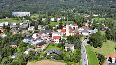
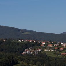
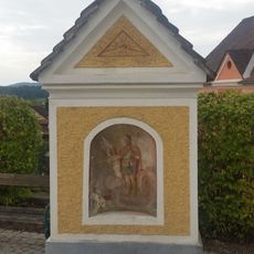
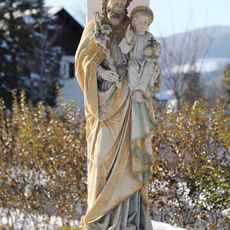
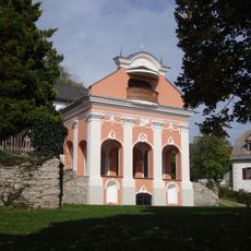
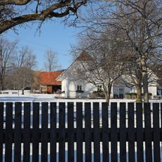
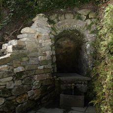
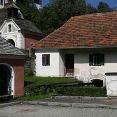
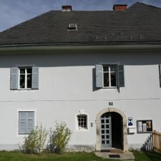
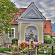
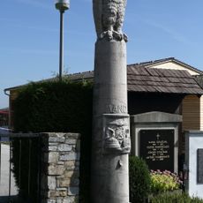
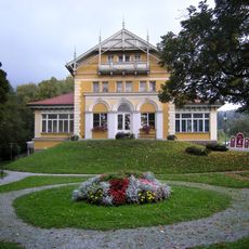
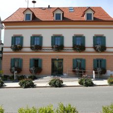
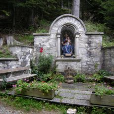
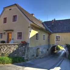
Sankt Radegund bei Graz, municipality in Graz-Umgebung District, Styria, Austria
Location: Graz-Umgebung District
Elevation above the sea: 717 m
Shares border with: Semriach
Email: gemeinde@radegund.info
Website: http://radegund.info
GPS coordinates: 47.18111,15.48944
Latest update: April 2, 2025 16:19
Schloss Kainberg
3.2 km
Gutenberg an der Raabklamm
4.6 km
Burg Ehrenfels
1.2 km
Novystein
1.4 km
Stubenberghaus
2.5 km
Calvary Sankt Radegund bei Graz
122 m
Wetterturm Rinnegg
2 km
Filialkirche Weinitzen
4.5 km
Isenrode Castle
991 m
Skulpturen im Kurpark
185 m
Flur-/Wegkapelle
3.9 km
Kalvarienbergkirche
149 m
Persönlichkeitsdenkmal Melanie-Höhe
802 m
Bildstock
4.1 km
Figurenbildstock hl. Joseph
3.5 km
Heilige Stiege
126 m
Kiesnerhof
3.1 km
Quellfassung, Demelius-Quelle
282 m
Wohnhaus, sog. Kalvarienberghäusl
103 m
Pfarrhof
115 m
Pfarrhof
4.1 km
Dorfkreuz Rabnitz
3.6 km
Grab Familie Mandl
433 m
Sog. Altes Kurhaus
193 m
Gemeindeamt
10 m
Quellfassung Ungarische Madonna
653 m
Ehemaliges Gasthaus vulgo Schmied
4.1 km
Rosa-Quelle
653 mReviews
Visited this place? Tap the stars to rate it and share your experience / photos with the community! Try now! You can cancel it anytime.
Discover hidden gems everywhere you go!
From secret cafés to breathtaking viewpoints, skip the crowded tourist spots and find places that match your style. Our app makes it easy with voice search, smart filtering, route optimization, and insider tips from travelers worldwide. Download now for the complete mobile experience.
A unique approach to discovering new places❞
— Le Figaro
All the places worth exploring❞
— France Info
A tailor-made excursion in just a few clicks❞
— 20 Minutes