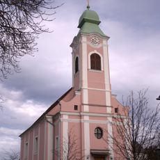
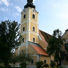
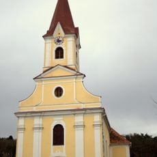
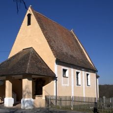
Bad Waltersdorf, Municipality in Hartberg-Fürstenfeld district, Austria
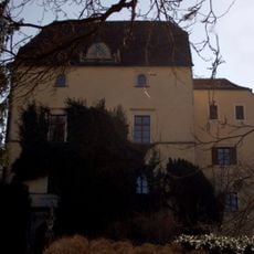
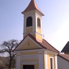
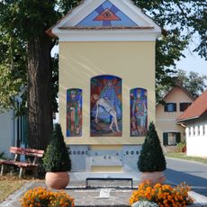
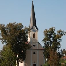
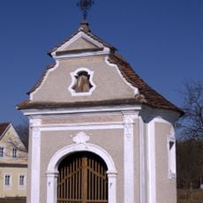
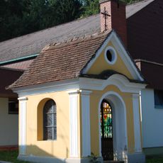
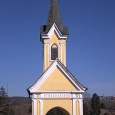
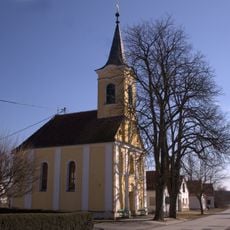
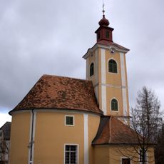
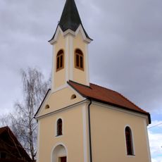
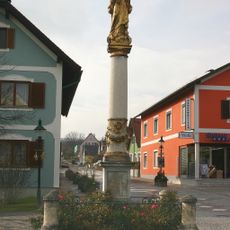
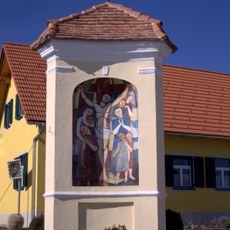
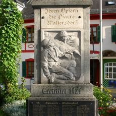
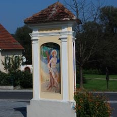
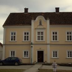
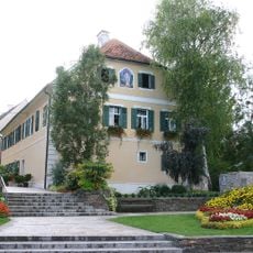
Bad Waltersdorf is a municipality in the Hartberg-Fürstenfeld district of Styria, made up of several small villages set among fields, forests and gentle hills. The main settlement is compact, with a mix of residential buildings, small shops and facilities linked to tourism.
The settlement grew over the centuries from a small rural village into a standalone municipality in Styria. Its rise as a spa town began in the 20th century, when the area's thermal springs were developed for public use.
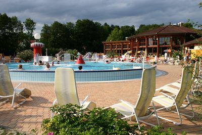
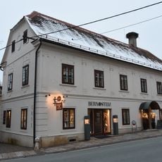
Bad Waltersdorf is known above all for its thermal spa, which has shaped daily life in the town over recent decades. Hotels, guesthouses and restaurants have grown around it, giving the place a character centered on rest and wellbeing.
The municipality is most easily reached by car, as it connects well to the regional road network in Styria. Visitors planning to use the thermal facilities will find parking and a range of accommodation options close to the town center.
The prefix "Bad" in the town's name is an official designation in Austria, granted only to places formally recognized as spa or health resorts. Earning this title requires proof of therapeutic springs or similar natural resources, so it is not simply a marketing label.
The community of curious travelers
AroundUs brings together thousands of curated places, local tips, and hidden gems, enriched daily by 60,000 contributors worldwide.