
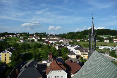
Berg bei Rohrbach, former municipality in Austria
Location: Rohrbach-Berg
Elevation above the sea: 630 m
Part of: Rohrbach-Berg
GPS coordinates: 48.57472,14.00194
Latest update: May 6, 2025 13:54
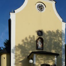
Wallfahrtskirche Maria Trost
152 m
Parish Church Rohrbach
827 m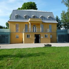
Villa Sinnenreich
950 m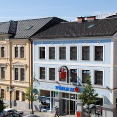
Sparkasse Mühlviertel-West
867 m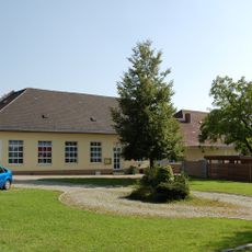
Schloss Berg
479 m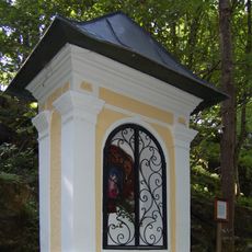
Maria Schnee-Kapelle
132 m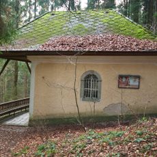
Buchet-Kapelle
1.5 km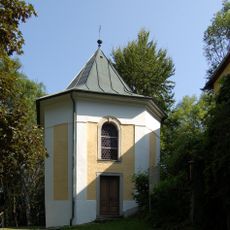
Maria Hilf-Kapelle
126 m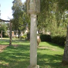
Tabernakelpfeiler Pöschl-Villa
967 m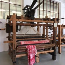
Webereimuseum
2.6 km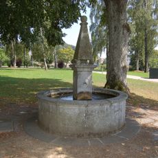
Brunnen Pöschl-Villa
952 m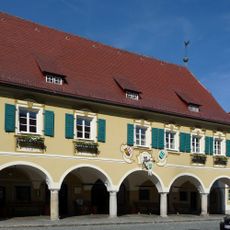
Rathaus
858 m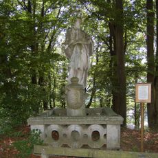
Figurenbildstock heiliger Johannes Nepomuk
186 m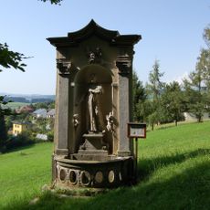
Bildstock Schickanus
245 m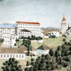
Textilfabrik Vonwiller
2.6 km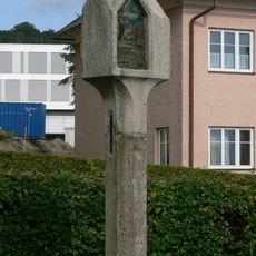
Bildstock
892 m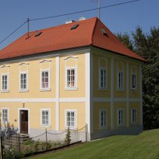
Benefiziatenhaus Berg bei Rohrbach
153 m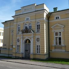
Ehem. Benefiziatenhaus, sog. Stöckl
912 m
Hopfenschwefeldarre
1.2 km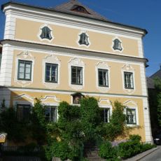
Bürgerhaus, sog. Poeschl-Haus
810 m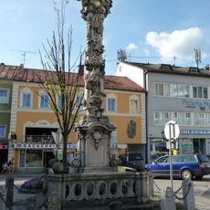
Dreifaltigkeitssäule
887 m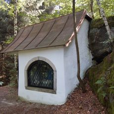
Heiliges Grab
215 m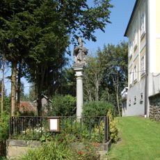
Säule heiliger Nikolaus
169 m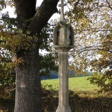
Bildstock
1.6 km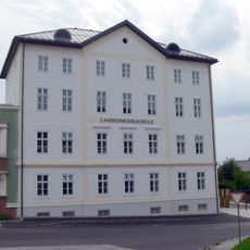
Schule
794 m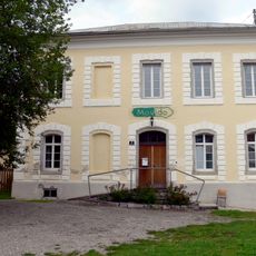
Ehem. Gefängnis
694 m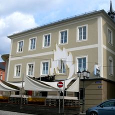
Alte Schule
826 m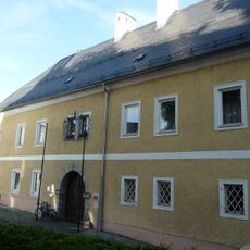
Pfarrhof
775 mVisited this place? Tap the stars to rate it and share your experience / photos with the community! Try now! You can cancel it anytime.
Discover hidden gems everywhere you go!
From secret cafés to breathtaking viewpoints, skip the crowded tourist spots and find places that match your style. Our app makes it easy with voice search, smart filtering, route optimization, and insider tips from travelers worldwide. Download now for the complete mobile experience.

A unique approach to discovering new places❞
— Le Figaro
All the places worth exploring❞
— France Info
A tailor-made excursion in just a few clicks❞
— 20 Minutes