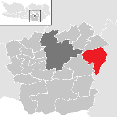
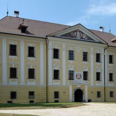
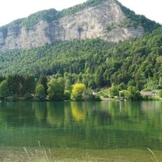
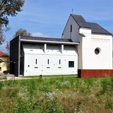
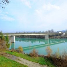
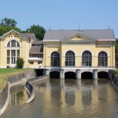
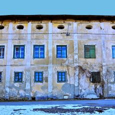
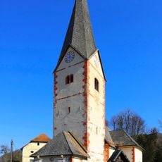
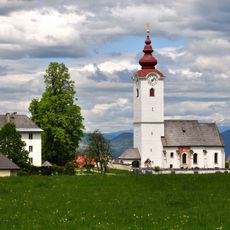
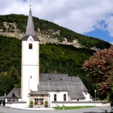
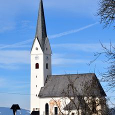
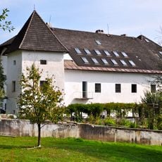
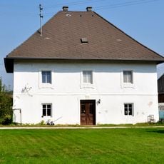
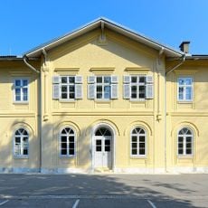
Grafenstein, municipality in Klagenfurt-Land District, Carinthia, Austria
Location: Klagenfurt(Land) District
Elevation above the sea: 418 m
Shares border with: Poggersdorf
Email: grafenstein@ktn.gde.at
Website: http://grafenstein.co.at
GPS coordinates: 46.61500,14.46722
Latest update: March 5, 2025 07:29
Schloss Grafenstein
529 m
Linsendorfer See
5.1 km
Burgruine Grafenstein
1.6 km
Autobahnkirche Dolina
3.1 km
Annabrücke
5.1 km
Gurkkraftwerk Rain II - Kraftwerk Gurk der Stadtgemeinde Klagenfurt
4.7 km
Schloss Möchling
4.8 km
Höhlenburg Rottenstein
6.2 km
Schloss Riedenegg, Lind
3.9 km
Filialkirche hl. Anna, Saager, Grafenstein
5.3 km
Pfarrkirche hl. Stefan, Grafenstein
544 m
Saint Paul Church
4.8 km
Pfarrkirche St Lambert, Radsberg, Ebenthal
4.9 km
Pfarrkirche St. Peter bei Grafenstein
1.6 km
Pfarrkirche hl Magdalena, Rottenstein
6.6 km
Filialkirche hl. Oswald, Thon, Grafenstein
1.9 km
Kath. Pfarrkirche St. Bartlmä zu Mieger
3.6 km
Aufbahrungshalle Grafenstein
243 m
Volksschule Grafenstein, Kärnten
93 m
Karner hl. Michael, Radsberg (Ebenthal in Kärnten)
4.9 km
Pfarrhof Radsberg, Ebenthal in Kärnten
5 km
Bettlerkreuz
4.8 km
Schloss Rain
4.1 km
Schloss Saager
5.4 km
Pfarrhof Sankt Peter, Grafenstein
1.6 km
Aufnahmsgebäude Bahnhof Grafenstein
719 m
Smollekreuz
1.1 km
Burgstall Sand
1.6 kmReviews
Visited this place? Tap the stars to rate it and share your experience / photos with the community! Try now! You can cancel it anytime.
Discover hidden gems everywhere you go!
From secret cafés to breathtaking viewpoints, skip the crowded tourist spots and find places that match your style. Our app makes it easy with voice search, smart filtering, route optimization, and insider tips from travelers worldwide. Download now for the complete mobile experience.
A unique approach to discovering new places❞
— Le Figaro
All the places worth exploring❞
— France Info
A tailor-made excursion in just a few clicks❞
— 20 Minutes