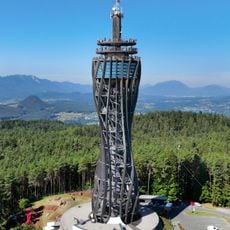
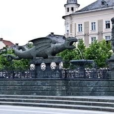
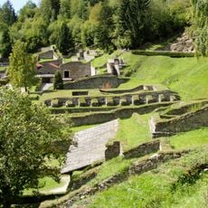
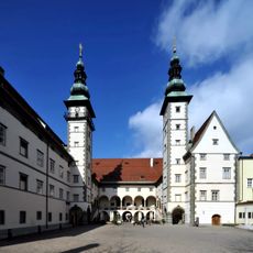
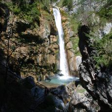
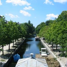
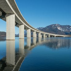
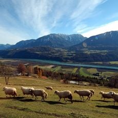
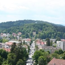
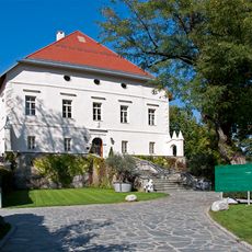
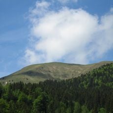
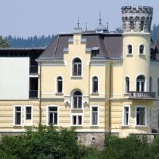
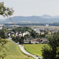
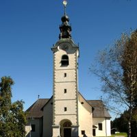
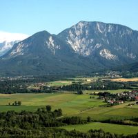
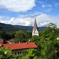
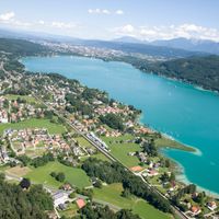
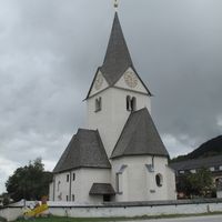
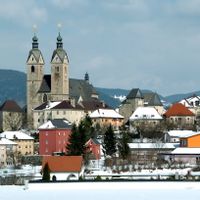
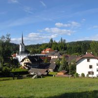
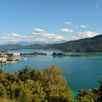
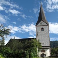
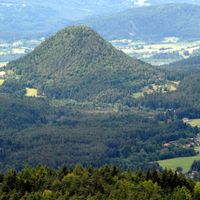
Klagenfurt District, district of Austria
Location: Carinthia
Elevation above the sea: 564 m
Shares border with: Villach-Land District, Feldkirchen District, Sankt Veit an der Glan District, Völkermarkt District, Klagenfurt
Website: http://verwaltung.ktn.gv.at/cgi-bin/evoweb.dll/web/akl/361_DE
GPS coordinates: 46.60900,14.23400
Latest update: March 9, 2025 00:59
Wörthersee Stadion
3.4 km
Pyramidenkogel Tower
6.8 km
Minimundus
2.6 km
Lindwurmbrunnen
5.9 km
Ulrichsberg gathering
11.4 km
Archeological park Magdalensberg
19.7 km
Landhaus Klagenfurt
5.8 km
Magdalensberg
19.9 km
Schloss Ottmanach
17.7 km
Tscheppaschlucht
14 km
Ulrichsberg
11.4 km
Lendkanal
5.2 km
Stol / Hochstuhl
20 km
Church of the Assumption of Mary, Maria Saal
11.8 km
Straßenbrücke Ferlacher Stausee
7.6 km
Klagenfurt Cathedral
6 km
Hochobir
22.5 km
Stadttheater Klagenfurt
5.8 km
Duke's Chair
12.5 km
Burg Hollenburg
7.2 km
Wildensteiner Wasserfall
22.6 km
Kirchenanlage Maria Wörth
5.4 km
Kreuzbergl
4.1 km
Tanzenberg Castle
14.1 km
Europapark Klagenfurt
2.3 km
Maria Loretto
1.4 km
Golica
19 km
Schloss Reifnitz
4 kmReviews
Visited this place? Tap the stars to rate it and share your experience / photos with the community! Try now! You can cancel it anytime.
Discover hidden gems everywhere you go!
From secret cafés to breathtaking viewpoints, skip the crowded tourist spots and find places that match your style. Our app makes it easy with voice search, smart filtering, route optimization, and insider tips from travelers worldwide. Download now for the complete mobile experience.
A unique approach to discovering new places❞
— Le Figaro
All the places worth exploring❞
— France Info
A tailor-made excursion in just a few clicks❞
— 20 Minutes