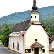
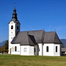
Ferlach, municipality in Klagenfurt-Land District, Carinthia, Austria
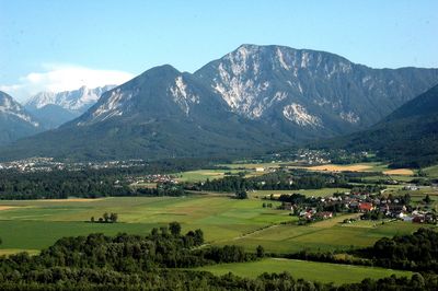
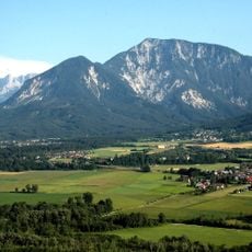
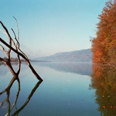
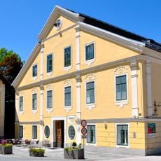
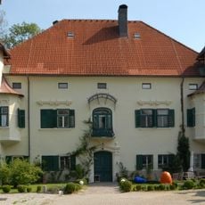
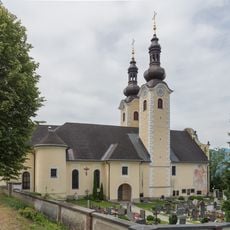
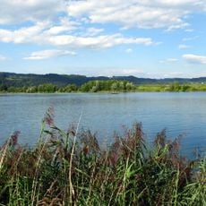
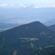
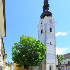
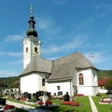
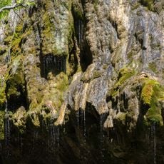
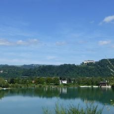
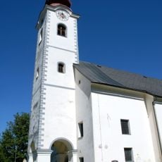
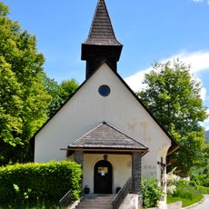
Ferlach is a town with city privileges in the Klagenfurt-Land District of Carinthia, sitting in a green valley south of the state capital. The town has a compact center with historic buildings arranged around the main square, while residential areas fan out into the surrounding countryside.
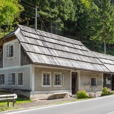
The town grew from medieval roots and gained city privileges due to its strategic location and local importance. It served for centuries as an important local center for crafts and trade in the region.
The town is easy to reach by car or train and has convenient parking near the center. A walk of around an hour is enough to explore the main sights and get a feel for the place.
The community of curious travelers
AroundUs brings together thousands of curated places, local tips, and hidden gems, enriched daily by 60,000 contributors worldwide.