Hochobir, Mountain summit in Carinthia, Austria
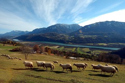
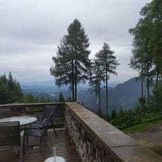
Hochobir is a mountain summit in the Karawanken range in Carinthia, sitting directly on the border between Austria and Slovenia and reachable from the Austrian side via marked trails. It is the highest point of the Austrian Karawanken and stands clearly above the surrounding ridges.
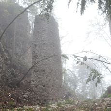
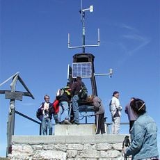
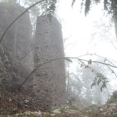
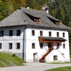
In the late 19th century, a weather station was built on the summit, making the peak one of the earliest sites for systematic mountain weather observation in Austria. The building was used by German forces during World War II and later fell into disrepair, leaving ruins that are still visible today.
The summit sits exactly on the border with Slovenia, and that border feeling is noticeable during the climb as signs shift language and views open toward Slovenian valleys. Hikers from both countries meet at the top, giving the place a genuinely cross-border character that few Austrian summits share.
A toll road leads up to the Eisenkappler Hütte, where you can park before starting the marked trail to the top. The upper section of the path gets steeper and requires solid footwear, especially when the ground is wet.
Below the summit lie the remains of the Hann-Warte, considered Austria's first alpine weather observation post, which recorded climate data as early as the mid-19th century. The area around the mountain also has a long history of lead and zinc ore mining that went on for centuries before it stopped entirely.
The community of curious travelers
AroundUs brings together thousands of curated places, local tips, and hidden gems, enriched daily by 60,000 contributors worldwide.