Ötztal, Alpine valley in Tyrol, Austria
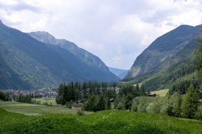
Ötztal is a 65 kilometer alpine valley in Tyrol with high peaks, multiple glaciers, and the Ötztaler Ache river flowing north between the Stubai and Ötztal Alps. The terrain creates varied landscapes from narrow sections to open meadows and forests.
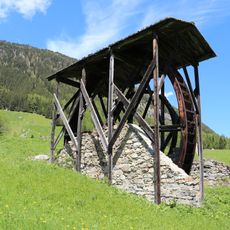
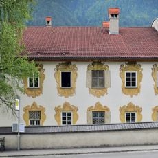
Archaeological finds show people lived here since prehistoric times, with organized settlements appearing from the 13th century onward. These communities grew along river routes and later mountain passes that enabled trade.
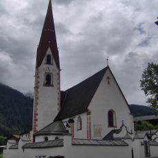
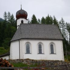
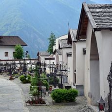
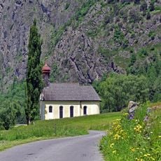
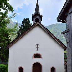
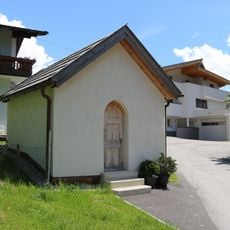
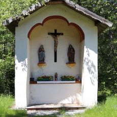
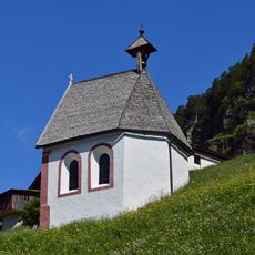
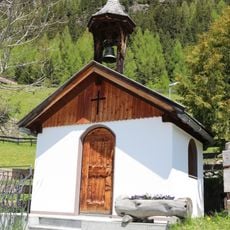
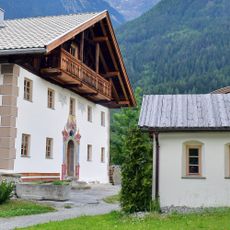
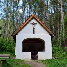
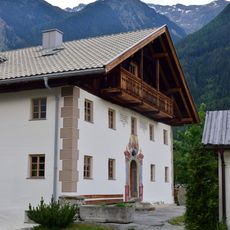
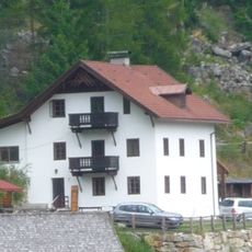
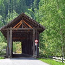
The towns throughout the valley keep Tyrolean mountain traditions alive, from local dialects to seasonal festivals and alpine farming that shape daily life. These practices remain visible in how the landscape is used and maintained.
Access is via the Ötztal railway station on the Arlberg line or by car through the A12 motorway exit for the valley. Mountain roads to higher areas open mainly in summer, while winter can bring closures on alpine passes.
The road crossing the high glacier area of the valley is one of the highest paved roads in the Alps, connecting Sölden with two glaciers. This route climbs rapidly and provides dramatic views in a short distance.
The community of curious travelers
AroundUs brings together thousands of curated places, local tips, and hidden gems, enriched daily by 60,000 contributors worldwide.