
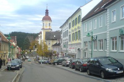
Birkfeld, municipality in Weiz District, Styria, Austria
Location: Weiz District
Elevation above the sea: 639 m
Shares border with: Anger, Miesenbach bei Birkfeld, Sankt Kathrein am Offenegg, Gasen, Fischbach, Strallegg, Pöllau
Email: marktgemeinde@birkfeld.at
Website: http://birkfeld.at
GPS coordinates: 47.35472,15.69500
Latest update: March 11, 2025 11:39
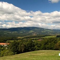
Rabenwaldkogel
6.7 km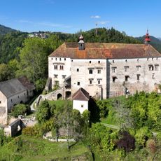
Frondsberg Castle
4.6 km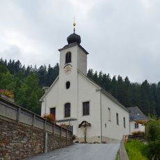
Wallfahrtskirche Maria Heilbrunn
6.8 km
Pfarrkirche hll. Petrus und Paulus, Birkfeld
44 m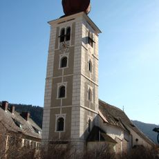
Pfarrkirche Mariä Heimsuchung, Koglhof
4 km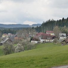
Reith
6.9 km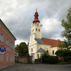
Pfarrkirche Strallegg
6.6 km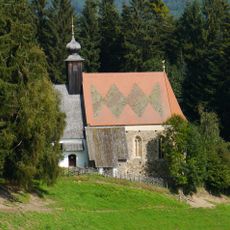
Kath. Filialkirche St. Lorenzen am Autersberg
5.4 km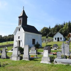
Friedhofskapelle und Friedhof
6.7 km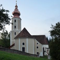
Filialkirche St. Georgen am Gasenbach
1.9 km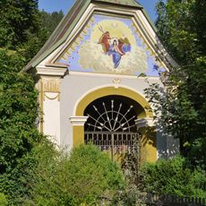
Flur-/Wegkapelle
403 m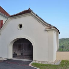
Southern churchyard chapel, Birkfeld
58 m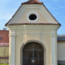
Kapelle
72 m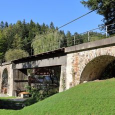
Hollersbach-Viadukt
1.5 km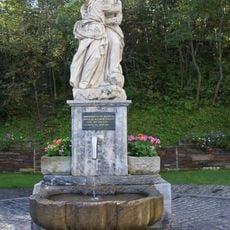
Gnadenbrunnen Maria Heilbrunn
6.7 km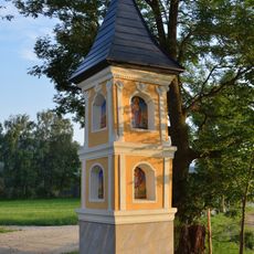
Bildstock Ausseregg, Strallegg
3.5 km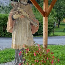
Statue of John of Nepomuk, Koglhof
4 km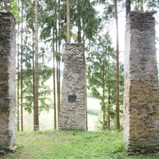
Ehem. Galgen
585 m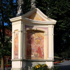
Bildstock Florianikreuz
6.6 km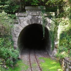
Frondsberg-Tunnel
4.7 km
Alte Volksschule, Birkfeld
67 m
Pfarrhof
4 km
Pestkreuz Stallegg
6.2 km
Bürgerhaus
93 m
Schloss Birkenstein
134 m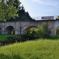
Viadukt
384 m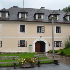
Pfarrhof
6.7 km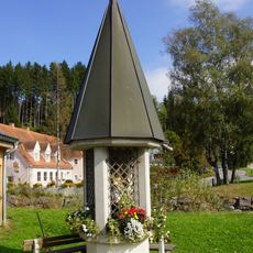
Bildstock
473 mReviews
Visited this place? Tap the stars to rate it and share your experience / photos with the community! Try now! You can cancel it anytime.
Discover hidden gems everywhere you go!
From secret cafés to breathtaking viewpoints, skip the crowded tourist spots and find places that match your style. Our app makes it easy with voice search, smart filtering, route optimization, and insider tips from travelers worldwide. Download now for the complete mobile experience.

A unique approach to discovering new places❞
— Le Figaro
All the places worth exploring❞
— France Info
A tailor-made excursion in just a few clicks❞
— 20 Minutes