Rabenwaldkogel, Mountain summit in Joglland, Styria, Austria
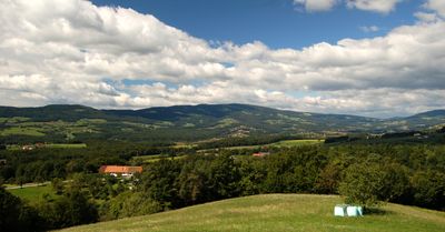
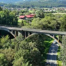
Rabenwaldkogel is a mountain summit at about 1,280 meters (4,200 feet) and forms the highest point in the Pöllau Valley Nature Park in Eastern Styria. The peak sits within a rolling landscape where multiple paths ascend to its top.
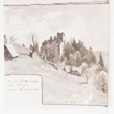
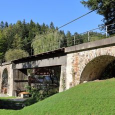
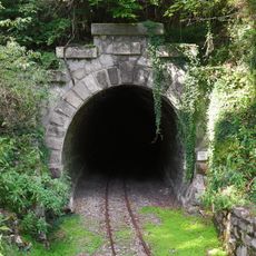
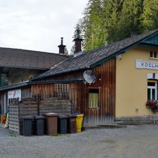
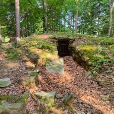
The mountain area shows traces of past mining operations, particularly talc extraction that once shaped industrial development in Styria. This mining heritage left marks on the landscape over many generations.
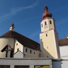
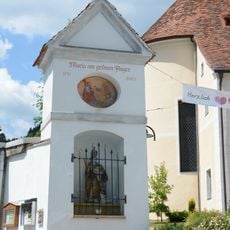
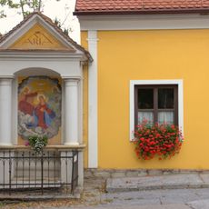
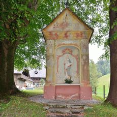
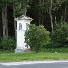
The trails pass through farming communities where you can encounter local traditions and regional products like the Pöllauer Hirschbirne pears that locals grow. These agricultural landscapes shape how people live and work in this valley today.
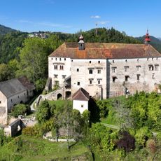
A popular circular hiking route starts from Pöllau Castle Park and takes about six hours, gaining roughly 910 meters (3,000 feet) of elevation along the way. The path is well-marked and passes through varied landscapes from valley to summit.
The summit stands isolated in the landscape with significant distance to its neighboring peaks, making it a distinct geographical formation. This separation gives it a quiet and independent character within the terrain.
Location: Anger
Location: Pöllau
Elevation above the sea: 1,280 m
GPS coordinates: 47.30184,15.73663
Latest update: December 14, 2025 16:48
Burgruine Waxenegg
5.6 km
Frondsberg Castle
3.7 km
Pfarrkirche Anger
4.7 km
Pfarrkirche Mariä Heimsuchung, Koglhof
4 km
Ulrichskirche Külml
5.5 km
Filialkirche Vierzehn Nothelfer Anger
4.1 km
Cemetery Anger, Styria
4.2 km
Feistritz-Viadukt bei Oberfeistritz
5.3 km
Hollersbach-Viadukt
5.2 km
Train station Oberfeistritz
4.9 km
Maria column Anger, Styria
4.7 km
Maria am grünen Anger, Anger
4.7 km
Statue of John of Nepomuk, Koglhof
3.8 km
Stainpeißhaus Anger
4.7 km
Bahntrasse Feistritztalbahn
4.5 km
Frondsberg-Tunnel
3.4 km
Bildstock Färber-Kreuz
4.5 km
Pfarrhof Anger, Styria
4.7 km
Gartenhaus
4.9 km
Griesbauerkreuz, Naintsch
4.9 km
Birkfelder Feistritz-Viadukt in Neudörfl
5.5 km
Pfarrhof
4 km
Kirchleiten-Tunnel
4.4 km
Birkfelder Straße 6, Anger
4.7 km
Aufnahmsgebäude Koglhof
3.7 km
Bahnhof Anger
4.5 km
Bildstock
4.1 km
Römerzeitlicher Grabhügel beim vulgo Haubenhofer
4.7 kmVisited this place? Tap the stars to rate it and share your experience / photos with the community! Try now! You can cancel it anytime.
Discover hidden gems everywhere you go!
From secret cafés to breathtaking viewpoints, skip the crowded tourist spots and find places that match your style. Our app makes it easy with voice search, smart filtering, route optimization, and insider tips from travelers worldwide. Download now for the complete mobile experience.
A unique approach to discovering new places❞
— Le Figaro
All the places worth exploring❞
— France Info
A tailor-made excursion in just a few clicks❞
— 20 Minutes