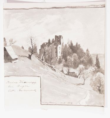
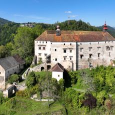
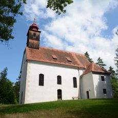
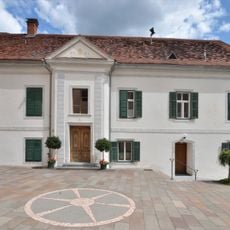
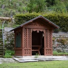
Burgruine Waxenegg, Medieval castle ruin in Anger, Austria.
Burgruine Waxenegg is a castle ruin set on elevated terrain at about 471 meters (1,545 feet), displaying preserved stone walls and structural elements from its original medieval construction. The remains show the layout of a defensive fortress with visible foundation lines and partially standing walls throughout the site.
The castle was first documented in 1219 and has remained a presence in the upper Feistritz valley for over eight centuries. It served as a fortified position for controlling the territory and protecting settlements throughout the medieval period.
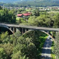
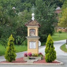
The site reflects how medieval communities in this region built defensive structures to protect their settlements and trade routes. Today, visitors can see the remains and understand how people lived and worked in this strategic location.
The site is best reached on foot via trails across the surrounding countryside, with some sections being steep and uneven. Guided tours can be arranged through the museum to gain deeper insight into the ruins and the area's past.
The name Waxenegg comes from the sharp ridge where the fortress sits, reflecting its dramatic location on the mountain edge. This geographic feature shaped how the fortress was positioned and remains central to understanding its strategic importance today.
The community of curious travelers
AroundUs brings together thousands of curated places, local tips, and hidden gems, enriched daily by 60,000 contributors worldwide.