
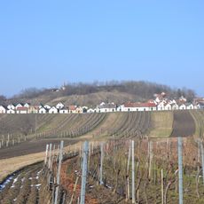
Ottenthal, municipality in Mistelbach District, Lower Austria, Austria
Location: Mistelbach District
Elevation above the sea: 240 m
Shares border with: Dobré Pole, Březí, Mikulov, Drasenhofen, Falkenstein, Wildendürnbach
Email: gemeinde@ottenthal.gv.at
Website: http://ottenthal.gv.at
GPS coordinates: 48.75917,16.57833
Latest update: April 4, 2025 05:54
Galgenberg
5.3 km
Šibeničník
5.1 km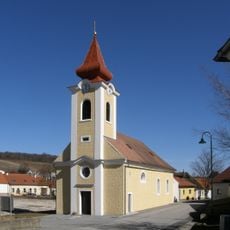
Pfarrkirche Stützenhofen
3.1 km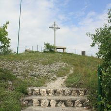
Südmährenkreuz
2.6 km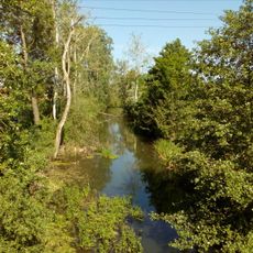
Niklasgraben
1.8 km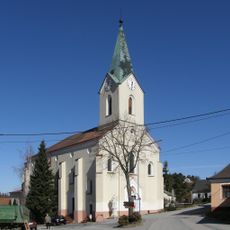
Pfarrkirche Kleinschweinbarth, Gemeinde Drasenhofen
2 km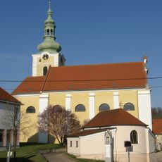
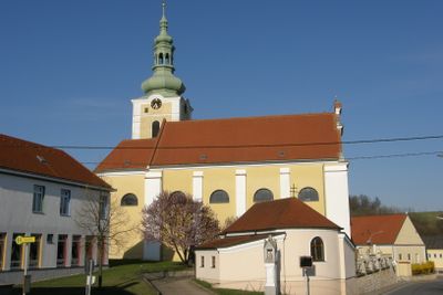
Pfarrkirche Ottenthal
255 m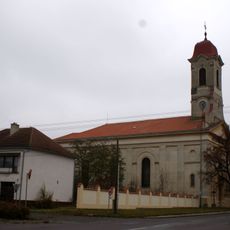
Church of Saint John the Baptist
7 km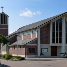
Pfarrkirche Wildendürnbach
5.7 km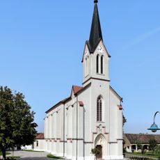
Pfarrkirche hl. Florian, Pottenhofen
2.5 km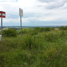
Lange Wart
6.3 km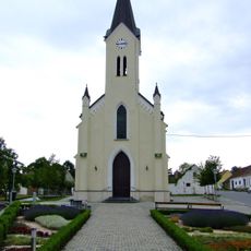
Filialkirche Neuruppersdorf
4.5 km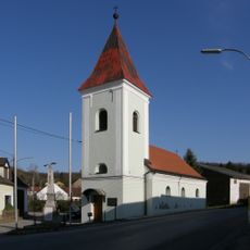
Ortskapelle Guttenbrunn, Gemeinde Ottenthal
1.5 km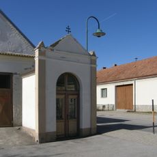
Pestkapelle
3.2 km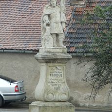
Socha svatého Floriána
6.7 km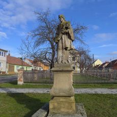
Statue of John of Nepomuk in Březí
6.8 km
Kellergasse Galgenberg
5.3 km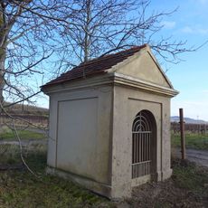
Chapel in Březí
6.7 km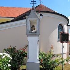
Bildstock
240 m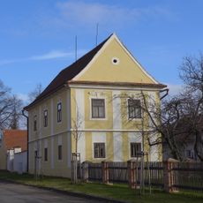
Fara
6.8 km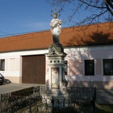
Figurenbildstock hl. Johannes Nepomuk
150 m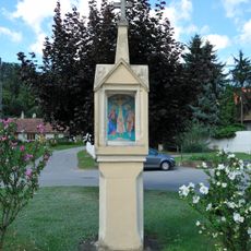
Bildstock
608 m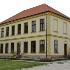
Volksschule
2.5 km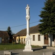
Figurenbildstock Maria Immaculata
468 m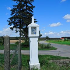
Bildstock
798 m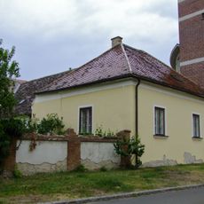
Pfarrhof
5.7 km
MJ-S 29 Svah casemate
5.9 km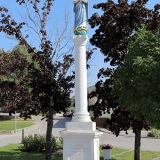
Maria column in Wildendürnbach
5.5 kmVisited this place? Tap the stars to rate it and share your experience / photos with the community! Try now! You can cancel it anytime.
Discover hidden gems everywhere you go!
From secret cafés to breathtaking viewpoints, skip the crowded tourist spots and find places that match your style. Our app makes it easy with voice search, smart filtering, route optimization, and insider tips from travelers worldwide. Download now for the complete mobile experience.

A unique approach to discovering new places❞
— Le Figaro
All the places worth exploring❞
— France Info
A tailor-made excursion in just a few clicks❞
— 20 Minutes