Zirler Berg, Mountain summit in Tyrol, Austria.
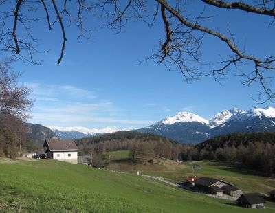
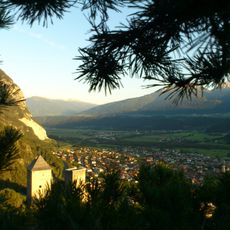
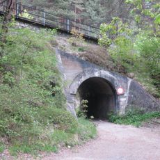
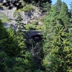
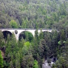
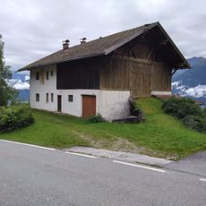
Zirler Berg is a mountain summit in Tyrol, rising to around 1057 meters directly above the Inn Valley. Its slopes alternate between meadows, coniferous forest, and rocky sections that vary in difficulty depending on the route taken.
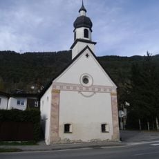
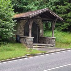
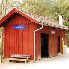
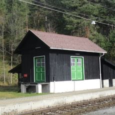
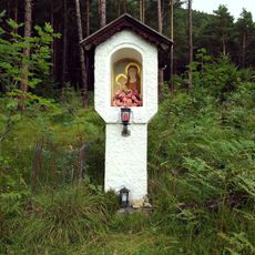
The routes crossing Zirler Berg were originally used by farmers and traders moving between the Inn Valley and the high pastures. Over time, these old working paths became hiking trails also used for leisure.
The paths on Zirler Berg have long served as connections between the valley villages and the high pastures above them. In summer, hikers still share the trails with cattle and the farmers who bring them up for grazing.
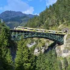
Sturdy footwear is recommended since some sections are rocky and steep, especially after rain. Weather can shift quickly at this elevation, so starting the route early in the day is a good idea.
From the top of Zirler Berg, it is possible to look into several valleys at once, which gives a rare sense of the region's layout. Many visitors are surprised that a summit of this modest height offers such a wide view in multiple directions.
The community of curious travelers
AroundUs brings together thousands of curated places, local tips, and hidden gems, enriched daily by 60,000 contributors worldwide.