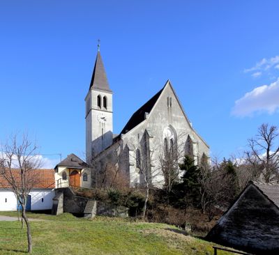
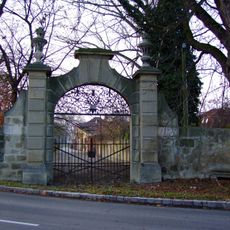
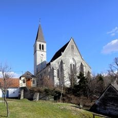
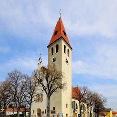
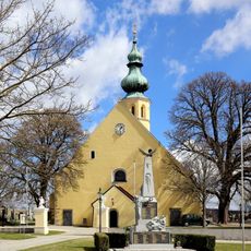
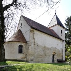
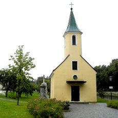
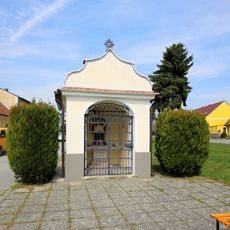
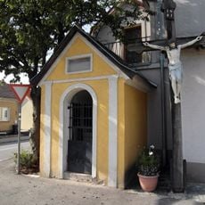
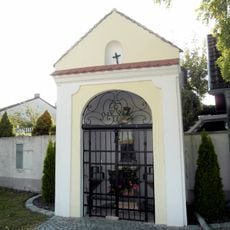
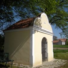
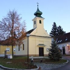
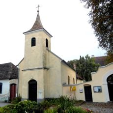
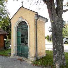
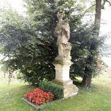
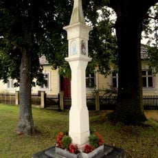
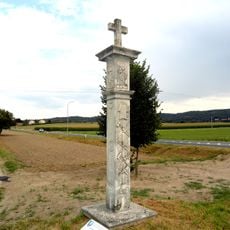
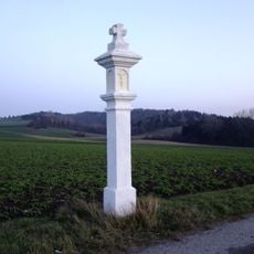
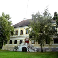
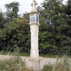
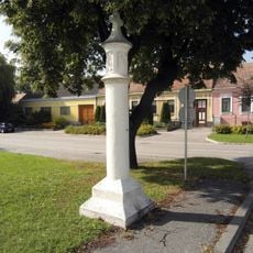
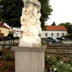
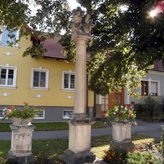
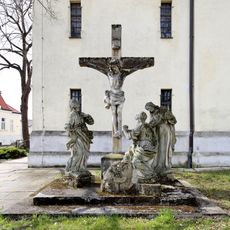
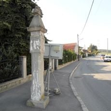
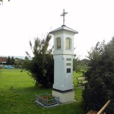
Stetten, municipality in Korneuburg District, Lower Austria, Austria
Location: Korneuburg District
Elevation above the sea: 180 m
Shares border with: Harmannsdorf, Enzersfeld, Hagenbrunn, Bisamberg, Leobendorf
Email: gemeinde@stetten.gv.at
Website: http://stetten.at
GPS coordinates: 48.36778,16.38278
Latest update: March 7, 2025 15:23
Fossilienwelt Weinviertel
1.7 km
Schloss Seebarn
1.5 km
Stetten - Pfarrkirche
188 m
Pfarrkirche Maria Geburt, Enzersfeld im Weinviertel
3.2 km
Pfarrkirche St. Hippolyt (Harmannsdorf)
2.7 km
Koenigsbrunn-Filialkirche
3 km
Wegkapelle hl. Johannes Nepomuk, Stetten
131 m
Ortskapelle hl. Rosalia
1.4 km
John of Nepomuk chapel, Enzersfeld
3.2 km
Wegkapelle hl. Rochus, Stetten
211 m
Flur-/Wegkapelle hl. Johannes Nepomuk
3.1 km
Flur-/Wegkapelle
2.7 km
Ortskapelle hl. Laurentius
2.1 km
Ortskapelle hl. Herz Jesu, Pfarrhofkapelle
3.2 km
Wegkapelle hl. Maria
596 m
Johannes v. Nepomuk-Bildstock
1.7 km
Bildstock
1.4 km
Bildstock Mühlkreuz
3.1 km
Hagenbrunn Bildstock Flandorf
2.5 km
Pfarrhof
3.3 km
Bildstock Markus- oder Schauerkreuz
766 m
Pest-/Dreifaltigkeitssäule
133 m
Figur hl. Johannes Nepomuk
2.8 km
Pest-/Dreifaltigkeitssäule
3.4 km
Kreuzigungsgruppe
3.2 km
Bildstock
2.8 km
Bildstock
407 m
Bildstock
2.5 kmReviews
Visited this place? Tap the stars to rate it and share your experience / photos with the community! Try now! You can cancel it anytime.
Discover hidden gems everywhere you go!
From secret cafés to breathtaking viewpoints, skip the crowded tourist spots and find places that match your style. Our app makes it easy with voice search, smart filtering, route optimization, and insider tips from travelers worldwide. Download now for the complete mobile experience.
A unique approach to discovering new places❞
— Le Figaro
All the places worth exploring❞
— France Info
A tailor-made excursion in just a few clicks❞
— 20 Minutes