
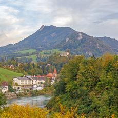
Reichraming, municipality in Steyr-Land District, Upper Austria, Austria
Location: Steyr-Land District
Elevation above the sea: 356 m
Shares border with: Ternberg, Losenstein, Laussa, Großraming, Weyer, Rosenau am Hengstpaß, Molln
Email: gemeindeamt@reichraming.at
Website: http://reichraming.at
GPS coordinates: 47.89056,14.46222
Latest update: April 4, 2025 04:52

Schieferstein
2.9 km
Bodinggraben
12.2 km
Branch church in Brunnbach near Großraming
8.2 km
Anlaufalm
13.3 km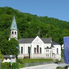
Sankt Franz von Sales
250 m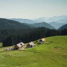
Ebenforstalm
10.5 km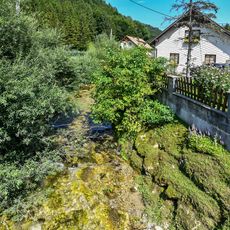
Hausbach
7.2 km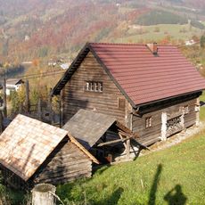
Forstmuseum
132 m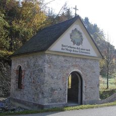
Dirnbach-Kapelle
1.7 km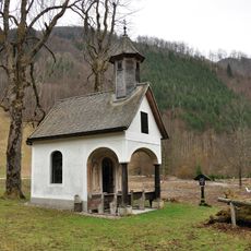
Anna-Kapelle
12.2 km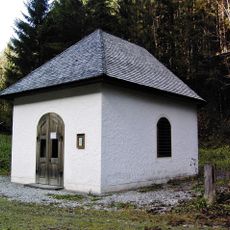
Weißenbachtal-Kapelle
4.1 km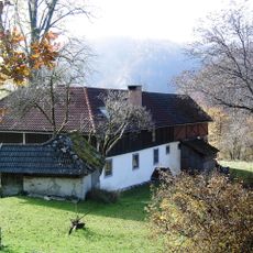
Bauernhof, alte Forsteralm
3.2 km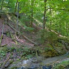
Kalkalpen - Wilder Graben
6.7 km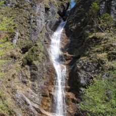
Schleierfall
14 km
Ehem. Forsthube jetzt Bauernhaus
583 m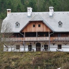
Lamberg´sches Forsthaus (Rosenau am Hengstpaß)
12.4 km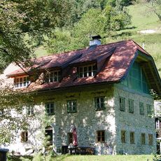
Wohnhaus
3.6 km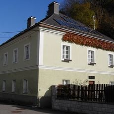
Schmiedehammer, Gütl bei der Schallermauer
406 m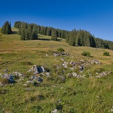
Schaumbergalm
12 km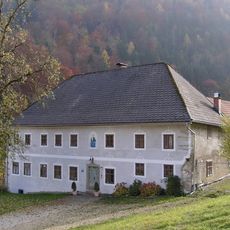
Ertlgut, Gut am Örtl in Rohrbach
1.4 km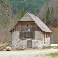
Krafthaus
12.1 km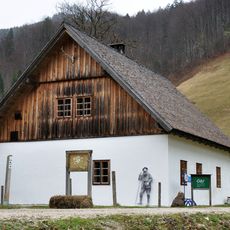
Gasthaus, ehem. Aufseherhaus, sog. Gölzhaus
12.1 km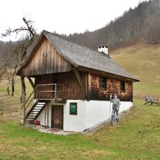
Forstamtsgebäude, sog. Adjunktenstöckl
12.1 km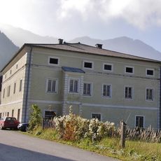
Ehem. Oberhammerwerksverwalterhaus
1 km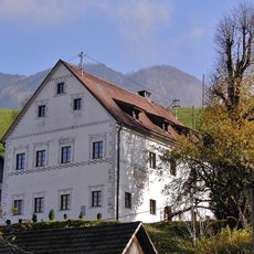
Bürgerhaus, sog. Türkenhaus
1.9 km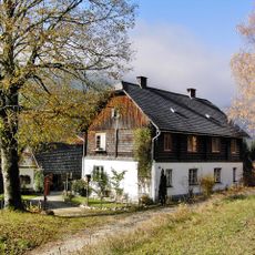
Forsthaus, neue Forsteralm bzw. Holzknechthaus
3 km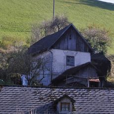
Bürgerhaus, Stöckl-Dirnbach
1.9 km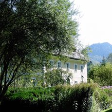
Wohnhaus, ehem. Forsthaus im Kohlschlag
9.9 kmReviews
Visited this place? Tap the stars to rate it and share your experience / photos with the community! Try now! You can cancel it anytime.
Discover hidden gems everywhere you go!
From secret cafés to breathtaking viewpoints, skip the crowded tourist spots and find places that match your style. Our app makes it easy with voice search, smart filtering, route optimization, and insider tips from travelers worldwide. Download now for the complete mobile experience.

A unique approach to discovering new places❞
— Le Figaro
All the places worth exploring❞
— France Info
A tailor-made excursion in just a few clicks❞
— 20 Minutes