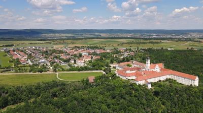
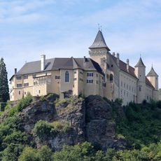
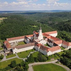
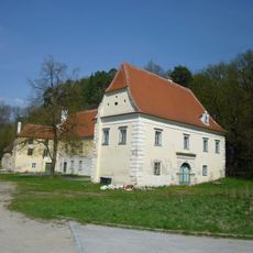
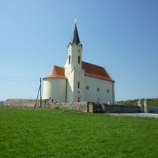
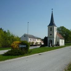
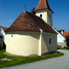
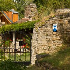
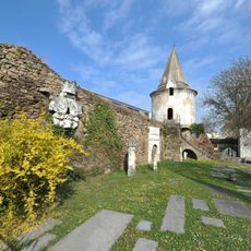
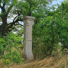
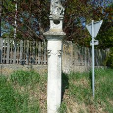
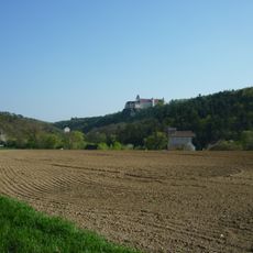
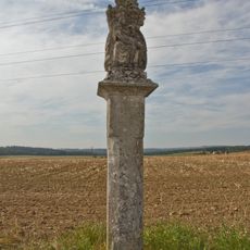
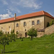
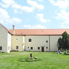
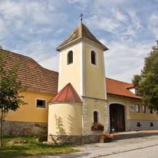
Altenburg, municipality in Horn District, Lower Austria, Austria
Location: Horn District
Elevation above the sea: 388 m
Shares border with: Röhrenbach, Sankt Bernhard-Frauenhofen, Horn, Rosenburg-Mold, Gars am Kamp, Sankt Leonhard am Hornerwald, Pölla
Email: gemeinde@altenburg.gv.at
Website: http://altenburg.gv.at
GPS coordinates: 48.64755,15.59412
Latest update: March 24, 2025 06:25
Schloss Rosenburg
3.7 km
Altenburg Abbey
440 m
Burgruine Ödes Schloss
2.2 km
Rauschermühle, Altenburg
2.3 km
Pfarrkirche hll. Peter und Paul, Strögen
2.5 km
Kapelle Wanzenau
3.4 km
Flur-/Wegkapelle Hl. Rochus
3.9 km
Kath. Pfarrkirche hl. Nikolaus
3.9 km
Ortskapelle Mahrersdorf
2.6 km
Ortskapelle Gobelsdorf
4.6 km
Burgruine Mahrersdorf (Altenburg)
2.8 km
Museum Horn
3.5 km
Schloss Rosenburg
3.7 km
Kiliankreuz
767 m
Maria-Dreieichen-Gnadenbild-Statue
3 km
Fundzone Hofmühle
3 km
Figurenbildstock Pietá
242 m
Figurenbildstock Hl. Florian
2.7 km
Pietà-Statue
3.1 km
Figurenbildstock Gnadenstuhl
3.8 km
Figurenbildstock nahe Burgerwiesen
2.4 km
Pfarrhofanlage Strögen, Gemeinde St. Bernhard-Frauenhofen
2.5 km
Schüttkasten
2.5 km
Glockenturm
1.8 km
Burgruine Steinegg
3.2 km
Figurenbildstock Hl. Florian
46 m
Figurenbildstock Maria Immaculata
879 m
Bildstock Mühlkreuz
1.6 kmReviews
Visited this place? Tap the stars to rate it and share your experience / photos with the community! Try now! You can cancel it anytime.
Discover hidden gems everywhere you go!
From secret cafés to breathtaking viewpoints, skip the crowded tourist spots and find places that match your style. Our app makes it easy with voice search, smart filtering, route optimization, and insider tips from travelers worldwide. Download now for the complete mobile experience.
A unique approach to discovering new places❞
— Le Figaro
All the places worth exploring❞
— France Info
A tailor-made excursion in just a few clicks❞
— 20 Minutes