Mühlviertel, Geographic region in Upper Austria, Austria
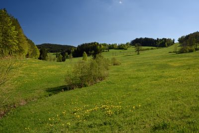
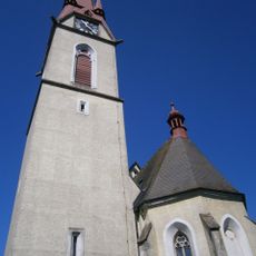
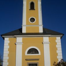
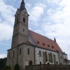
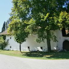
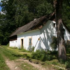
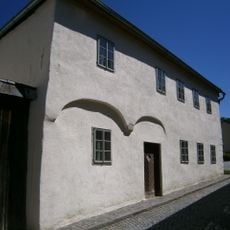
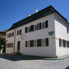
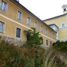
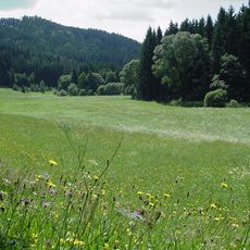
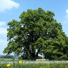
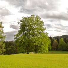
The Mühlviertel is a region in Upper Austria nestled between the Danube River and the Bohemian Forest, defined by its granite foundation. Its landscape consists of forests, rolling hills, and river valleys spread across several districts that form a connected geographic area.
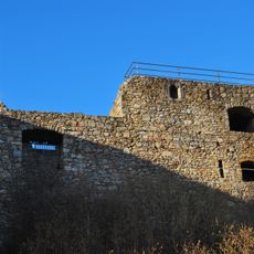
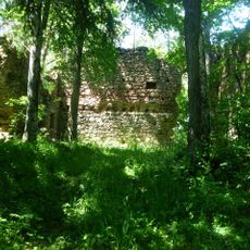
The region took shape through geological processes that created its granite formations and river systems, which guided human settlement over centuries. In the twentieth century, tragic events connected to a concentration camp left deep marks on the region's history and collective memory.
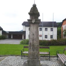
Local craftspeople and artisans maintain their traditions through regular markets and exhibitions that celebrate traditional skills and handmade goods. Walking through the villages, you notice how deeply these crafts are woven into the daily life and identity of the communities here.
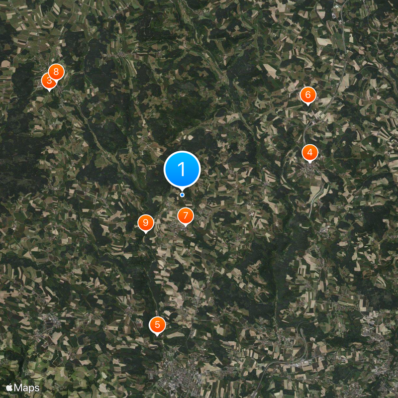
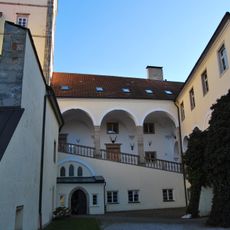
The best time to visit is late spring through early fall when the weather is mild and hiking trails are accessible throughout the region. A tourism office in Aigen-Schlägl offers information about places to stay, where to eat, and things to do across the different districts.
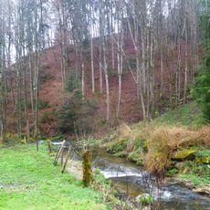
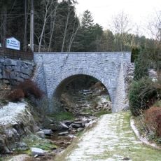
The name comes from three rivers: the Große Mühl, Kleine Mühl, and Steinerne Mühl, which fundamentally shape the landscape here. These waterways have not only sculpted the terrain but also determined how people have lived and worked in the region for generations.
The community of curious travelers
AroundUs brings together thousands of curated places, local tips, and hidden gems, enriched daily by 60,000 contributors worldwide.