
Sankt Georgen am Walde
Sankt Georgen am Walde, municipality in Perg District, Upper Austria, Austria
Location: Perg District
Elevation above the sea: 787 m
Shares border with: Königswiesen, Altmelon, Bärnkopf, Dorfstetten, Dimbach, Pabneukirchen
Email: marktgemeinde@st-georgen-walde.ooe.gv.at
Website: http://st.georgen.at
GPS coordinates: 48.36083,14.89694
Latest update: April 11, 2025 21:43
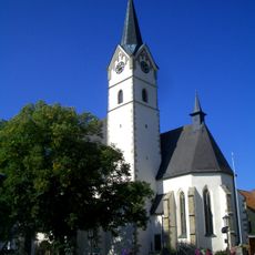
Pfarrkirche Mariä Himmelfahrt
6.7 km
Schlesingerteich
7.9 km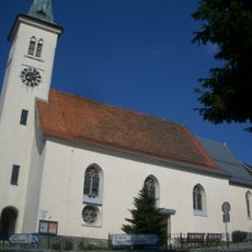
Pfarrkirche Mönchdorf
7.4 km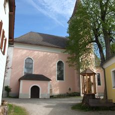
Pfarrkirche Altmelon
9.5 km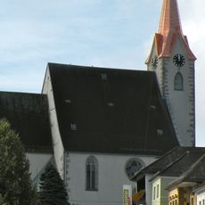
Parish church in Pabneukirchen
7.5 km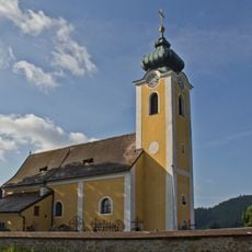
Pfarrkirche Dorfstetten
7.4 km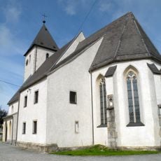
Pfarrkirche in Dimbach
6.1 km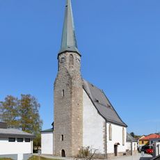
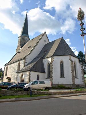
Parish church in Sankt Georgen am Walde
111 m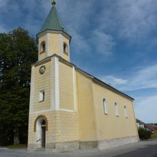
Pfarrkirche Bärnkopf
8.8 km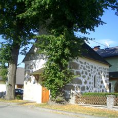
Wegkapelle
8.2 km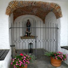
Wimmer-Kapelle
292 m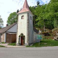
Ortskapelle Kleinpertenschlag
9.5 km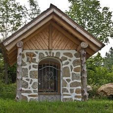
Hinterredt/Hinterederhofstatt und Kapelle
6.9 km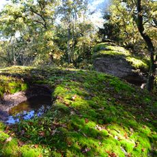
Einsiedlermauer bei Riedersdorf
4.1 km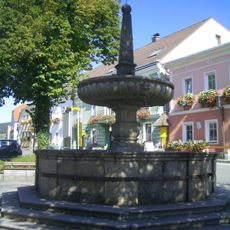
Marktbrunnen, Königswiesen
6.6 km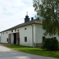
Dietrichsbach Wachtelhütte
7.9 km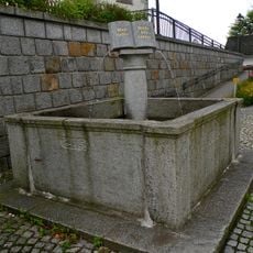
Brunnen
7.5 km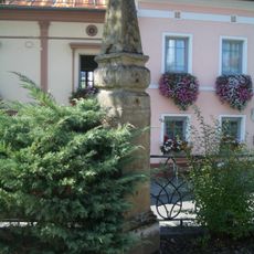
Brunnen
6.6 km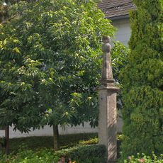
Pranger
4.6 km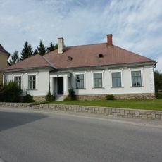
Pfarrhof Bärnkopf
8.8 km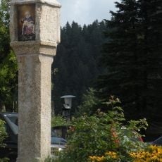
Bildstock in Dimbach
6.1 km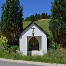
Kapelle an der Greiner Straße bei Linden
2.3 km
Bildstock
7.5 km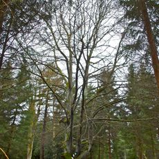
Blutbuche in Stifting
6.3 km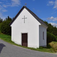
Kapelle beim Steinkellnergut
8.5 km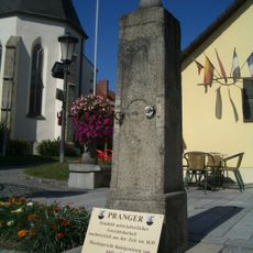
Pranger
6.6 km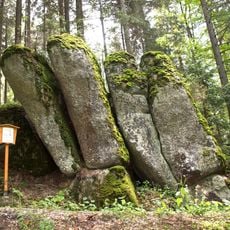
Bücherständer in Mönchdorf
6.1 km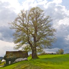
Linde in Haid
9.1 kmVisited this place? Tap the stars to rate it and share your experience / photos with the community! Try now! You can cancel it anytime.
Discover hidden gems everywhere you go!
From secret cafés to breathtaking viewpoints, skip the crowded tourist spots and find places that match your style. Our app makes it easy with voice search, smart filtering, route optimization, and insider tips from travelers worldwide. Download now for the complete mobile experience.

A unique approach to discovering new places❞
— Le Figaro
All the places worth exploring❞
— France Info
A tailor-made excursion in just a few clicks❞
— 20 Minutes